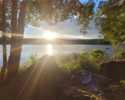
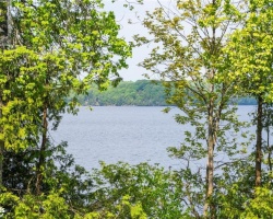
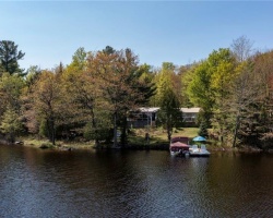
Menominee Lake - (Lake of Bays)
Lake Menominee is located mainly in the geographic township of McLean within the Township of Lake of Bays and a small portion is located in the geographic township of Brunel within the Town of Huntsville. Lake Menominee is situated on the west side of Muskoka Rd 2 at the junction of Muskoka Rd 9. Lake Menominee flows into the South Muskoka River Bay in Lake of Bays and then into the South Branch of the Muskoka River.
Average traveling time from the GTA to Menominee Lake - (Lake of Bays) is 2 hours 6 mins
This Lake Median Lake Average Lake | |
Menominee Lake is 100 hectares (247 Acres) in size The median size lake in our area is 71 hectares or 175 Acres (average size 398 hectares) | 100 71 398 |
|
Menominee Lake has a maximum depth 8 meters (26 ft)
The median depth of lakes in our area is 13.5 m or 44 ft (average depth 18 m) | 8 13.5 18 |
| The median depth of Menominee Lake is 3.20 m (10 ft) | 3.20 5.2 7 |
|
Menominee Lake Perimeter 6.90 km (4.29 Miles)
The median perimiter of lakes in our area is 3.3 km or 2.05 miles (average Perimiter 3.61 km) | 6.90 3.3 4 |
|
Menominee Lake Altitude 335 m (1099 ft)
The median altitude of lakes in our area is 290 m or 951 ft (average Altitude is 289 m) | 335 290 289 |
|
Water Clarity of Menominee Lake (median 3.2 m) 2.10 m (7ft)
The median Secchi Depth of lakes in our area is 3.2 m or 10 ft (average Secchi Depth is 3 m) | 2.10 3.2 3 |
| 10 % of Menominee Lake shorline is wetland. The median percentage of shoreline which is wetland of lakes in our area is 9 % (average Percentage of shoreline which is wetland 10) % |
Percentage of Shoreline which is wetland 10 9 10 |
|
Menominee Lake's phosphorus content in water is 8.60 ug/L
The median Phosphorus content in the water of lakes in our area is 8 ug/l (average Phosphorus content 9 ug/L | 8.60 8 9 |
| Menominee Lake's watershed area feeding the Lake (excluding lake) 10.2 km2 (2520 acres) | |
| Lake Trout found in Menominee Lake: 8.6 | |
| Drainage Basin of Menominee Lake Lake of Bays | |
| Menominee Lake's percentage of shoreline which is Crown Land 20 % | |
| Menominee Lake is in the Township of Brunel | |
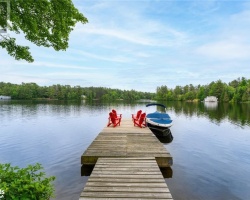
| Shoreline Development on Menominee Lake is: High; shoreline residential | |
| Public Access to Menominee Lake Unknown | |
| Water Level Management Not regulated | |
| Major Fish Species in Menominee Lake (I) | |
| Other Fish Species in Menominee Lake northern redbelly dace, common shiner, golden shiner, ,, , creek chub | |
| Notes: E: extirpated, I: introduced – intentional or accidental, O: occasional, R: remnant, S: currently stocked, ?: status uncertain, 2009: year of first record or introduction if known, blank: presumed native | |
| Much of the above data for Menominee Lake is compliments of the Muskoka Water Web maintained by The District Municipality of Muskoka | |
Maps of Menominee Lake
Topographical Map of Menominee Lake in Lake of Bays
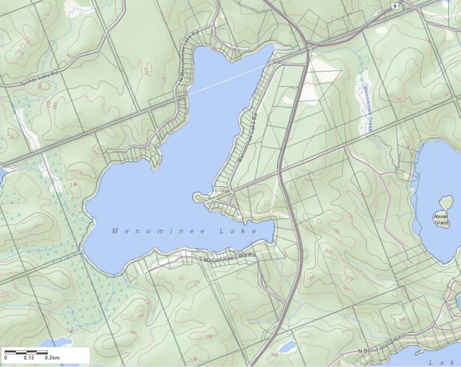
Legend
 Buildings surrounding Menominee Lake
 Buildings surrounding Menominee Lake
 Conservation Area surrounding Menominee Lake
 Contours of land surrounding Menominee Lake
 Index Contour
 Rapids
 Spot Height
 Water Falls
 Water Falls/Rapids
 Waterbody Elevation
 Watercourse
 Wetland surrounding Menominee Lake
 Wooded Area surrounding Menominee Lake
Zoning Map of Menominee Lake in Lake of Bays
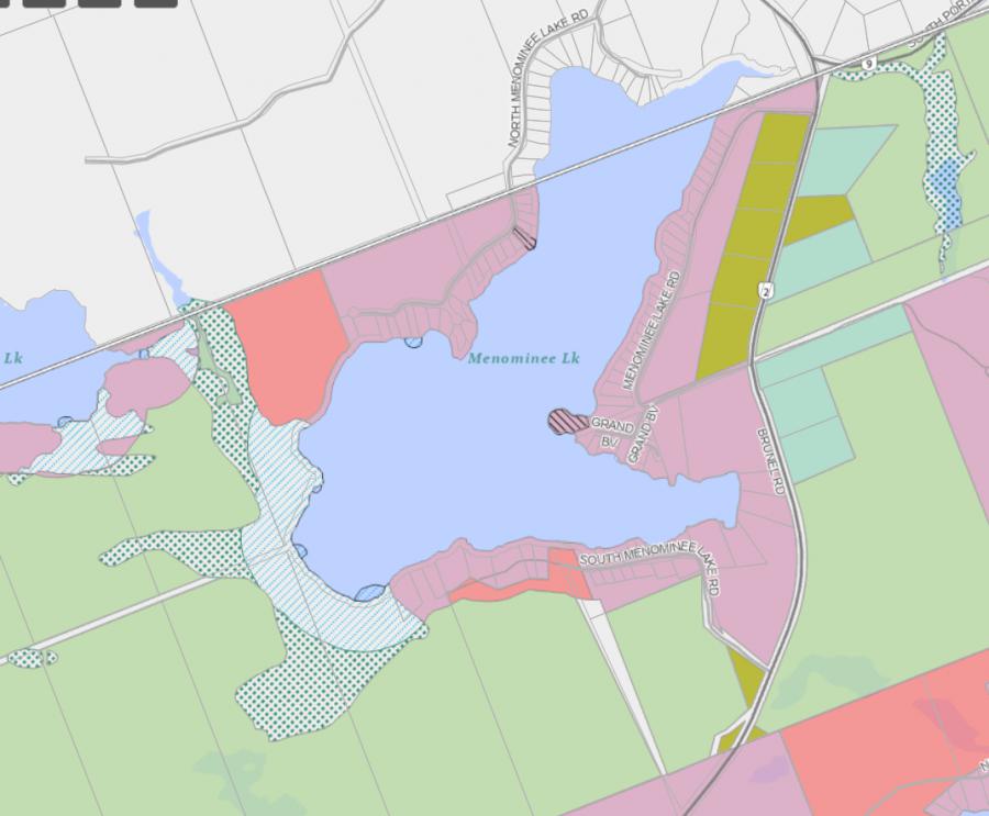
Legend of Lake of Bays Zoning Map - Menominee Lake
WR - Waterfront Residential 1RU - Rural
OS - Open Space
CSR - Community Settlement Residential
RL - Rural Limited
WOS - Waterfront Open Space
RR - Rural Residential
Crown Land Map of Menominee Lake in Lake of Bays
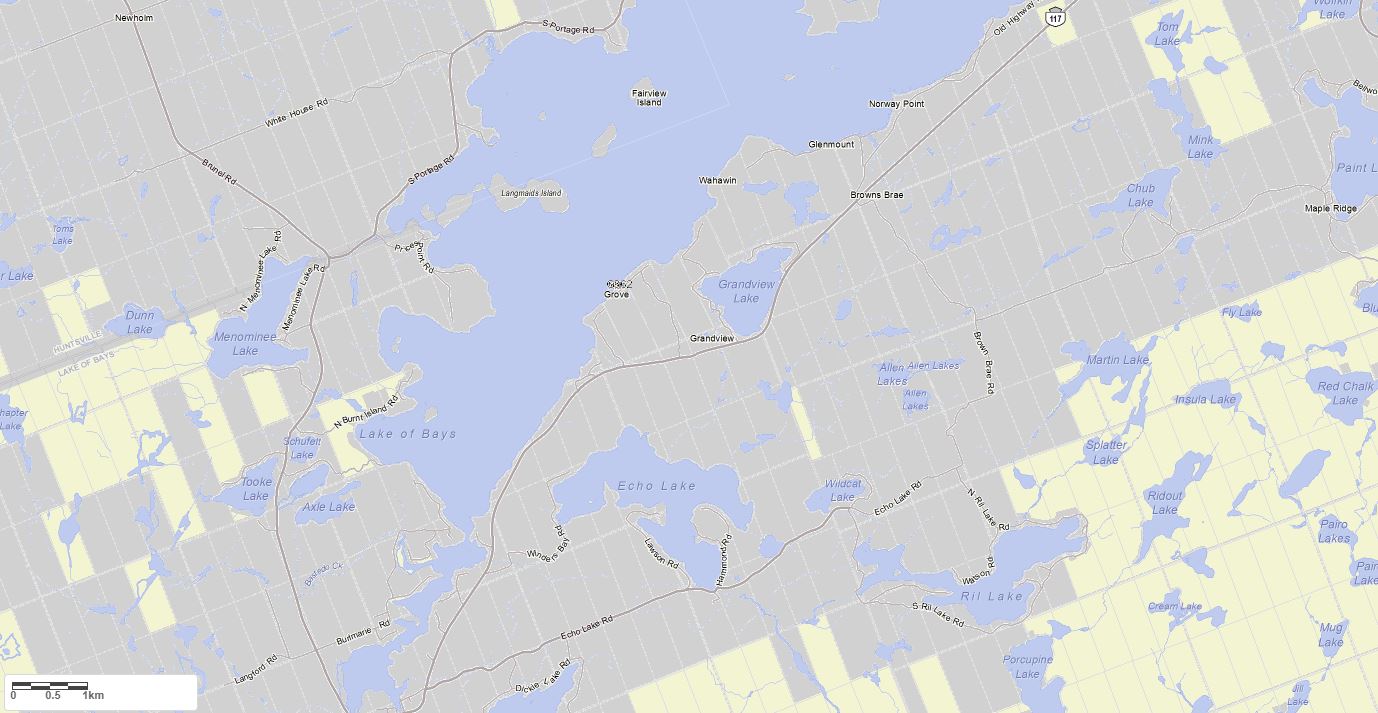
Legend for Crown Land Map
Private Land surrounding Menominee Lake - (Lake of Bays)Provincial Park surrounding Menominee Lake - (Lake of Bays)
Crown Land surrounding Menominee Lake - (Lake of Bays) (General Use)
Conservation Reserve surrounding Menominee Lake - (Lake of Bays)
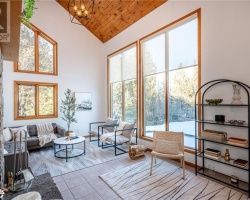
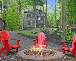
Cottages for Sale on Menominee Lake
Cottages for Sale close to Menominee Lake
Previously listed Cottages on Menominee Lake
N/A Menominee Lake Road, Baysville, P1H2J3 was previously listed 2024-05-15, mls# 40587827
1098 SOUTH MENOMINEE LAKE Road, Lake Of Bays, P1H2J3 was previously listed 2023-09-09, mls# 40423449
157 MENOMINEE LAKE Road N, Huntsville, P1H2J3 was previously listed 2023-08-03, mls# 40411343
167 MENOMINEE LAKE Road N, Huntsville, P1H2J3 was previously listed 2023-05-17, mls# 40397199
167 MENOMINEE LAKE Road N, Huntsville, P1H2J3 was previously listed 2023-04-04, mls# 40376607
167 MENOMINEE LAKE Road N, Huntsville, P1H2J3 was previously listed 2023-03-05, mls# 40349499
1098 SOUTH MENOMINEE LAKE Road, Lake Of Bays, P1H2J3 was previously listed 2022-09-27, mls# 40309392
1069 MENOMINEE LAKE Road, Baysville, P1H2J3 was previously listed 2022-08-27, mls# 40299367
1098 SOUTH MENOMINEE LAKE Road, Lake Of Bays, P1H2J3 was previously listed 2022-08-13, mls# 40247547
1057 MENOMINEE LAKE Road, Baysville, P1H2J3 was previously listed 2022-07-01, mls# 40252830
1053 Menominee Lake Road, Lake Of Bays, P1H2J3 was previously listed 2021-10-20, mls# 40174220
3526 Brunel Road, Lake of Bays (Twp), P0B1A0 was previously listed 2021-09-08, mls# 40158396
233 N Menominee Lake Road, Baysville, P1H2J3 was previously listed 2021-09-02, mls# 40155109
141 N Menominee Lake Road, Huntsville, P1H2J3 was previously listed 2020-12-08, mls# 40048177
141 N Menominee Lake Road, Huntsville, P1H2J3 was previously listed 2020-11-24, mls# 40009698