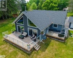
Penuel Lake - (Perry)
This Lake Median Lake Average Lake | |
Penuel Lake is 35 hectares (86 Acres) in size The median size lake in our area is 71 hectares or 175 Acres (average size 398 hectares) | 35 71 398 |
|
Penuel Lake has a maximum depth 7 meters (23 ft)
The median depth of lakes in our area is 13.5 m or 44 ft (average depth 18 m) | 7 13.5 18 |
| The median depth of Penuel Lake is 4.00 m (13 ft) | 4.00 5.2 7 |
|
Penuel Lake Altitude 370 m (1214 ft)
The median altitude of lakes in our area is 290 m or 951 ft (average Altitude is 289 m) | 370 290 289 |
|
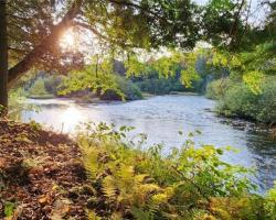
Water Clarity of Penuel Lake (median 3.2 m) 1.40 m (5ft)
The median Secchi Depth of lakes in our area is 3.2 m or 10 ft (average Secchi Depth is 3 m) | 1.40 3.2 3 |
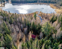
| Penuel Lake's watershed area feeding the Lake (excluding lake) 5.2 km2 (1285 acres) | |
| Drainage Basin of Penuel Lake Magnetawan River | |
| Penuel Lake is in the Township of Perry | |
| Local Name of Penuel Lake is Star Lake | |
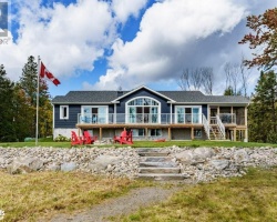
| Shoreline Development on Penuel Lake is: low | |
| Public Access to Penuel Lake private | |
| Water Level Management not regulated | |
| Major Fish Species in Penuel Lake Smallmouth Bass (I 1946), Northern Pike (I 1977) | |
| Other Fish Species in Penuel Lake Pumpkinseed, Yellow Perch | |
| Notes: E: extirpated, I: introduced – intentional or accidental, O: occasional, R: remnant, S: currently stocked, ?: status uncertain, 2009: year of first record or introduction if known, blank: presumed native | |
| Much of the above data for Penuel Lake is compliments of the Muskoka Water Web maintained by The District Municipality of Muskoka | |
Maps of Penuel Lake
Topographical Map of Penuel Lake in Perry
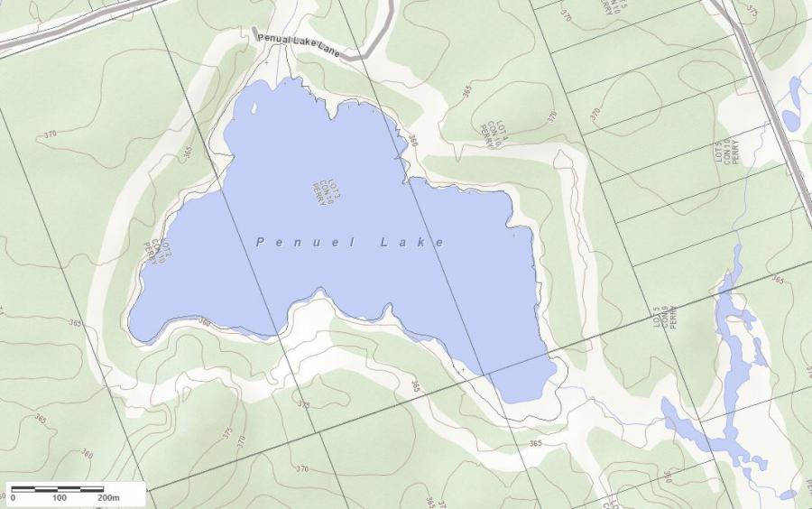
Legend
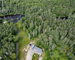
 Buildings surrounding Penuel Lake
 Buildings surrounding Penuel Lake
 Conservation Area surrounding Penuel Lake
 Contours of land surrounding Penuel Lake
 Index Contour
 Rapids
 Spot Height
 Water Falls
 Water Falls/Rapids
 Waterbody Elevation
 Watercourse
 Wetland surrounding Penuel Lake
 Wooded Area surrounding Penuel Lake
Crown Land Map of Penuel Lake in Perry
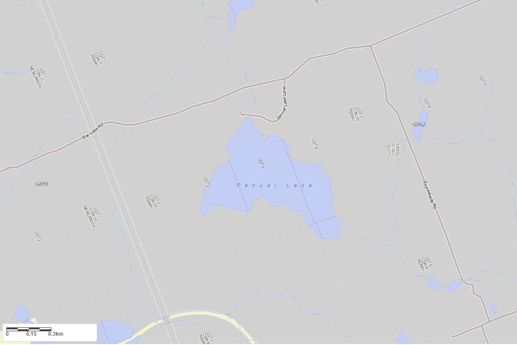
Legend for Crown Land Map
Private Land surrounding Penuel Lake - (Perry)Provincial Park surrounding Penuel Lake - (Perry)
Crown Land surrounding Penuel Lake - (Perry) (General Use)
Conservation Reserve surrounding Penuel Lake - (Perry)
Cottages for Sale on Penuel Lake - (Perry)
Sorry no cottages for sale at the moment on Penuel Lake (Perry)