Perry Lake - (Kearney)
This Lake Median Lake Average Lake | |
Perry Lake is 68 hectares (168 Acres) in size The median size lake in our area is 71 hectares or 175 Acres (average size 398 hectares) | 68 71 398 |
|
Perry Lake has a maximum depth 13 meters (43 ft)
The median depth of lakes in our area is 13.5 m or 44 ft (average depth 18 m) | 13 13.5 18 |
|
Perry Lake Altitude 335 m (1099 ft)
The median altitude of lakes in our area is 290 m or 951 ft (average Altitude is 289 m) | 335 290 289 |
|
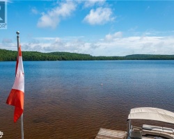
Water Clarity of Perry Lake (median 3.2 m) 2.20 m (7ft)
The median Secchi Depth of lakes in our area is 3.2 m or 10 ft (average Secchi Depth is 3 m) | 2.20 3.2 3 |
| Perry Lake's watershed area feeding the Lake (excluding lake) 328.0 km2 (81050 acres) | |
| Drainage Basin of Perry Lake Magnetawan River | |
| Perry Lake is in the Township of Perry | |
| Shoreline Development on Perry Lake is: High; urban, commercial, shoreline residential | |
| Public Access to Perry Lake Public; boat launch in Town of Kearney | |
| Water Level Management Regulated; water level is controlled by MNRF owned and operated dam. Dam is operated in accordance with the Magnetawan River Operating Plan | |
| Major Fish Species in Perry Lake Brook Trout (E?), Lake Whitefish, Largemouth Bass (I 1961), Smallmouth Bass (I 1940)Northern Pike (I 2018), Walleye (I 2018) | |
| Other Fish Species in Perry Lake Brown bullhead, Cisco, Pumpkinseed, Rainbow Smelt (I 1961), White Sucker, Yellow Perch | |
| Notes: E: extirpated, I: introduced – intentional or accidental, O: occasional, R: remnant, S: currently stocked, ?: status uncertain, 2009: year of first record or introduction if known, blank: presumed native | |
| Much of the above data for Perry Lake is compliments of the Muskoka Water Web maintained by The District Municipality of Muskoka | |
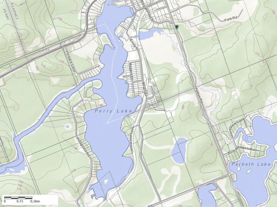
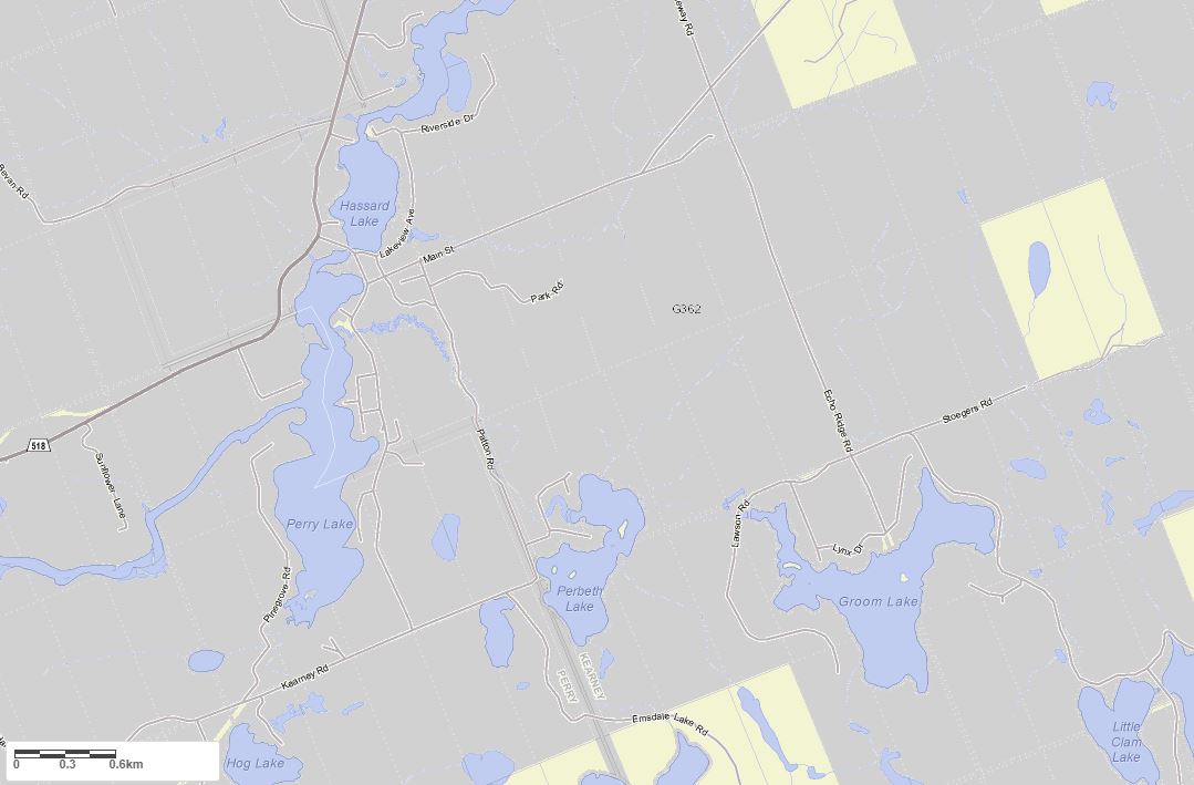
Maps of Perry Lake
Topographical Map of Perry Lake in Kearney
Legend
 Buildings surrounding Perry Lake
 Buildings surrounding Perry Lake
 Conservation Area surrounding Perry Lake
 Contours of land surrounding Perry Lake
 Index Contour
 Rapids
 Spot Height
 Water Falls
 Water Falls/Rapids
 Waterbody Elevation
 Watercourse
 Wetland surrounding Perry Lake
 Wooded Area surrounding Perry Lake
Crown Land Map of Perry Lake in Kearney
Legend for Crown Land Map
Private Land surrounding Perry Lake - (Kearney)Provincial Park surrounding Perry Lake - (Kearney)
Crown Land surrounding Perry Lake - (Kearney) (General Use)
Conservation Reserve surrounding Perry Lake - (Kearney)
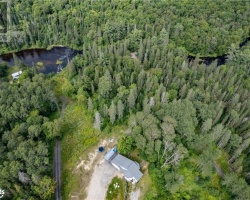
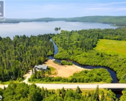
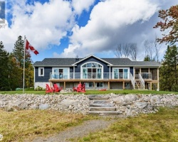
Cottages for Sale on Perry Lake
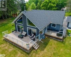
Cottages for Sale close to Perry Lake
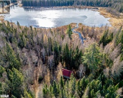
Previously listed Cottages on Perry Lake
45 PERRYWINKLE Lane, Kearney, P0A1M0 was previously listed 2023-10-31, mls# 40482028
30 PINEAIRE Lane, Perry, P0A1M0 was previously listed 2023-08-19, mls# 40419255
30 PINEAIRE Lane, Perry, P0A1M0 was previously listed 2022-11-01, mls# 40306219
1711 HIGHWAY 518, Kearney, P0A1M0 was previously listed 2022-07-27, mls# 40274084
15 LAKE Street, Kearney, P0A1M0 was previously listed 2022-07-27, mls# 40288873
1711 HIGHWAY 518, Kearney, P0A1M0 was previously listed 2022-07-01, mls# 40246328
64 IRONWOOD Lane, Kearney, P0B1J0 was previously listed 2022-06-01, mls# 40252808
1711 Highway 518, Kearney, P0A1M0 was previously listed 2022-01-04, mls# 40178250
122c Pineaire Lane, Kearney, P0A1M0 was previously listed 2021-09-25, mls# 40128964