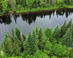
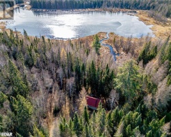
Doe Lake - (Ryerson)
There is another Doe Lake in the township of Muskoka in Gravenhurst
This Lake Median Lake Average Lake | |
Doe Lake is 1187 hectares (2933 Acres) in size The median size lake in our area is 71 hectares or 175 Acres (average size 398 hectares) | 1187 71 398 |
|
Doe Lake has a maximum depth 23 meters (75 ft)
The median depth of lakes in our area is 13.5 m or 44 ft (average depth 18 m) | 23 13.5 18 |
| The median depth of Doe Lake is 5.90 m (19 ft) | 5.90 5.2 7 |
|
Doe Lake Perimeter 34.30 km (21.31 Miles)
The median perimiter of lakes in our area is 3.3 km or 2.05 miles (average Perimiter 3.61 km) | 34.30 3.3 4 |
| Doe Lake Island/s Perimeter 1.40 km (0.87 Miles) | |
|
Doe Lake Altitude 295 m (968 ft)
The median altitude of lakes in our area is 290 m or 951 ft (average Altitude is 289 m) | 295 290 289 |
|
Water Clarity of Doe Lake (median 3.2 m) 2.50 m (8ft)
The median Secchi Depth of lakes in our area is 3.2 m or 10 ft (average Secchi Depth is 3 m) | 2.50 3.2 3 |
| Doe Lake's watershed area feeding the Lake (excluding lake) 133.0 km2 (32865 acres) | |
| Drainage Basin of Doe Lake Magnetawan River | |
| Doe Lake's percentage of shoreline which is Crown Land 1 % | |
| Doe Lake is in the Township of Ryerson | |
| Local Name of Doe Lake is Big Doe Lake | |
| Shoreline Development on Doe Lake is: Moderate; Shoreline Residential, Commercial | |
| Public Access to Doe Lake Public; Boat Launch; Almaguin Drive, Katrine | |
| Water Level Management Regulated; water level is controlled by MNR-owned and operated dam located on Magnetawan River. Flows and levels are governed by the Magnetawan River Operating Plan. | |
| Major Fish Species in Doe Lake Smallmouth Bass (I), Walleye (I), Northern Pike, Largemouth Bass (I 2017),Black Crappie (I 2017), Lake Whitefish | |
| Other Fish Species in Doe Lake Burbot, White Sucker, Brown Bullhead,Cisco, Yellow Perch Pumpkinseed, Rock Bass, Bluntnose Minnow, Common Shiner, Emerald Shiner, Rainbow Smelt (I), Trout-perch | |
| Other Species in Doe Lake Spiny Water Flea (2008) | |
| Notes: E: extirpated, I: introduced – intentional or accidental, O: occasional, R: remnant, S: currently stocked, ?: status uncertain, 2009: year of first record or introduction if known, blank: presumed native | |
| Much of the above data for Doe Lake is compliments of the Muskoka Water Web maintained by The District Municipality of Muskoka | |
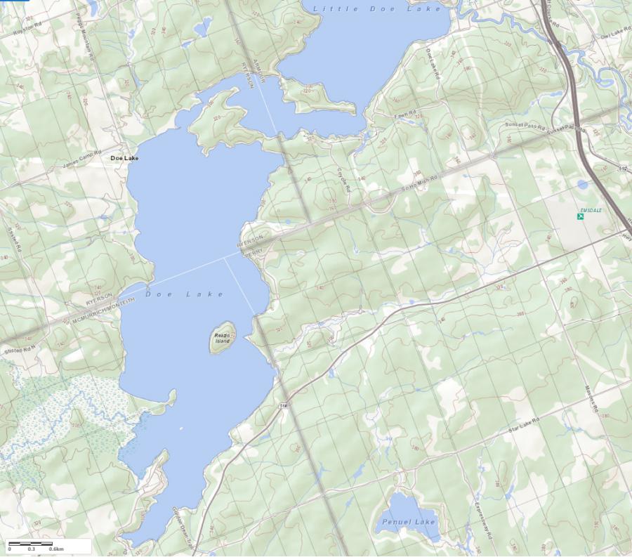
Maps of Doe Lake
Topographical Map of Doe Lake in Ryerson
Legend
 Buildings surrounding Doe Lake
 Buildings surrounding Doe Lake
 Conservation Area surrounding Doe Lake
 Contours of land surrounding Doe Lake
 Index Contour
 Rapids
 Spot Height
 Water Falls
 Water Falls/Rapids
 Waterbody Elevation
 Watercourse
 Wetland surrounding Doe Lake
 Wooded Area surrounding Doe Lake
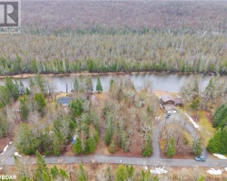
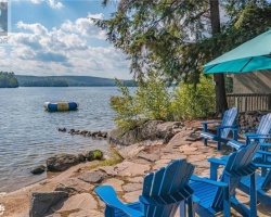
Cottages for Sale on Doe Lake
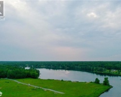
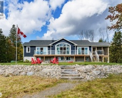
Cottages for Sale close to Doe Lake
Previously listed Cottages on Doe Lake
1027 CONSERVATION Road, Gravenhurst, P1P1R3 was previously listed 2023-10-31, mls# 40479455
572 FERGUSON Road, Katrine, P0A1L0 was previously listed 2023-10-31, mls# 40463377
1051 CONSERVATION Road, Gravenhurst, P1P1R3 was previously listed 2023-10-31, mls# 40462106
0 CONSERVATION Road, Gravenhurst, P1P1R3 was previously listed 2023-10-01, mls# 40435924
1145 SO HO MISH Road, Katrine, P0A1L0 was previously listed 2023-09-09, mls# 40469150
1027 CONSERVATION Road, Gravenhurst, P1P1R3 was previously listed 2023-09-07, mls# 40459701
138 MIDDLE DOE LAKE PENINSULA Lake, Armour, P0A1L0 was previously listed 2023-05-27, mls# 40386390
933 FERGUSON Road, Katrine, P0A1L0 was previously listed 2023-04-21, mls# 40374203
138 MIDDLE DOE LAKE PENINSULA Lake, Armour, P0A1L0 was previously listed 2022-11-01, mls# 40292349
1095 CONSERVATION Road, Gravenhurst, P1P1R3 was previously listed 2022-07-27, mls# 40297628
1095 CONSERVATION Road, Gravenhurst, P1P1R3 was previously listed 2022-07-27, mls# 40286377
1101 CONSERVATION Road, Gravenhurst, P1P1R2 was previously listed 2022-07-27, mls# 40295687
20 SNOWSHOE Lane, Katrine, P0A1L0 was previously listed 2022-04-13, mls# 40231678
1517 DOE LAKE Road, Gravenhurst, P1P1R3 was previously listed 2022-03-25, mls# 40217295
1610 Doe Lake Road, Gravenhurst, P1P1R3 was previously listed 2021-09-16, mls# 40154495
73b Almaguin Drive, Sprucedale, P0A1Y0 was previously listed 2021-08-06, mls# 40146691
214 Fawn Road N, Armour, P0A1L0 was previously listed 2021-07-10, mls# 40107796
933 Ferguson Road, Katrine, P0A1L0 was previously listed 2021-05-20, mls# 40111013
1091 Conservation Road E, Gravenhurst, P1P1Y8 was previously listed 2021-04-08, mls# 40087536
1610 Doe Lake Road, Gravenhurst, P1P1R3 was previously listed 2020-11-15, mls# 40040264
1075 Conservation Road E, Gravenhurst, P1P1R3 was previously listed 2020-11-11, mls# 40034832
32 Birch Court, Sprucedale, P0A1J0 was previously listed 2020-10-07, mls# 40028948
1161 So Ho Mish Road, Sprucedale, P0A1Y0 was previously listed 2020-09-28, mls# 40024498
933 Ferguson Road N, Katrine, P0A 1L0 was previously listed 2020-01-09, mls# 211191
211 Madill Road, Katrine, P0A 1C0 was previously listed 2019-12-27, mls# 103353
1081 Conservation Road, Gravenhurst, P1P 1R3 was previously listed 2019-12-27, mls# 180991
218 Fawn Road, Katrine, P0A 1L0 was previously listed 2019-12-27, mls# 215218
Madill Road, Katrine, P0A 1C0 was previously listed 2019-12-27, mls# 191871
141 Richardson Road, Sprucedale, P0A 1C0 was previously listed 2019-09-28, mls# 205925
1173 So Ho Mish Road, Emsdale, P0A 1J0 was previously listed 2019-08-16, mls# 201541
1173 So Ho Mish Road, Emsdale, P0A 1J0 was previously listed 2019-08-16, mls# 200457