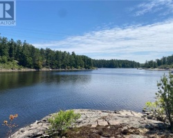
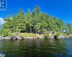
Gurd Lake - (Unincorporated)
Average traveling time from the GTA to Gurd Lake - (Unincorporated) is 3 hours 17 min
This Lake Median Lake Average Lake | |
Gurd Lake is 75 hectares (185 Acres) in size The median size lake in our area is 71 hectares or 175 Acres (average size 398 hectares) | 75 71 398 |
|
Gurd Lake has a maximum depth 6 meters (20 ft)
The median depth of lakes in our area is 13.5 m or 44 ft (average depth 18 m) | 6 13.5 18 |
| The median depth of Gurd Lake is 2.00 m (7 ft) | 2.00 5.2 7 |
|
Gurd Lake Perimeter 6.40 km (3.98 Miles)
The median perimiter of lakes in our area is 3.3 km or 2.05 miles (average Perimiter 3.61 km) | 6.40 3.3 4 |
| Gurd Lake Island/s Perimeter 1.00 km (0.62 Miles) | |
|
Gurd Lake Altitude 200 m (656 ft)
The median altitude of lakes in our area is 290 m or 951 ft (average Altitude is 289 m) | 200 290 289 |
|
Water Clarity of Gurd Lake (median 3.2 m) 1.70 m (6ft)
The median Secchi Depth of lakes in our area is 3.2 m or 10 ft (average Secchi Depth is 3 m) | 1.70 3.2 3 |
| Gurd Lake's watershed area feeding the Lake (excluding lake) 8.0 km2 (1977 acres) | |
| Drainage Basin of Gurd Lake Key River | |
| Gurd Lake's percentage of shoreline which is Crown Land 100 % | |
| Gurd Lake is in the Township of Mowat | |
| Shoreline Development on Gurd Lake is: Provincial Park Campground | |
| Public Access to Gurd Lake Public; Park permit required; no motors allowed | |
| Water Level Management Regulated; water level is controlled by MNR-owned and operated dam. | |
| Major Fish Species in Gurd Lake Largemouth Bass, Northern Pike, Smallmouth Bass, Walleye, Black Crappie | |
| Other Fish Species in Gurd Lake Johnny Darter, Bluntnose Minnow, Pumpkinseed, Brown Bullhead,White Sucker, Iowa Darter, Golden Shiner, Rock Bass, Yellow Perch, Blackchin Shiner (2016) | |
| Notes: E: extirpated, I: introduced – intentional or accidental, O: occasional, R: remnant, S: currently stocked, ?: status uncertain, 2009: year of first record or introduction if known, blank: presumed native | |
| Much of the above data for Gurd Lake is compliments of the Muskoka Water Web maintained by The District Municipality of Muskoka | |
Maps of Gurd Lake
Topographical Map of Gurd Lake in Unincorporated
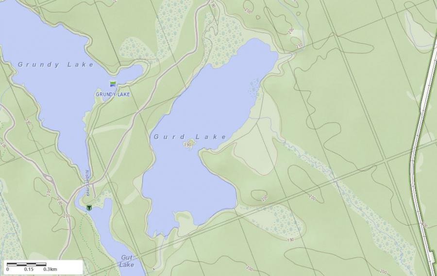
Legend
 Buildings surrounding Gurd Lake
 Buildings surrounding Gurd Lake
 Conservation Area surrounding Gurd Lake
 Contours of land surrounding Gurd Lake
 Index Contour
 Rapids
 Spot Height
 Water Falls
 Water Falls/Rapids
 Waterbody Elevation
 Watercourse
 Wetland surrounding Gurd Lake
 Wooded Area surrounding Gurd Lake
Crown Land Map of Gurd Lake in Unincorporated
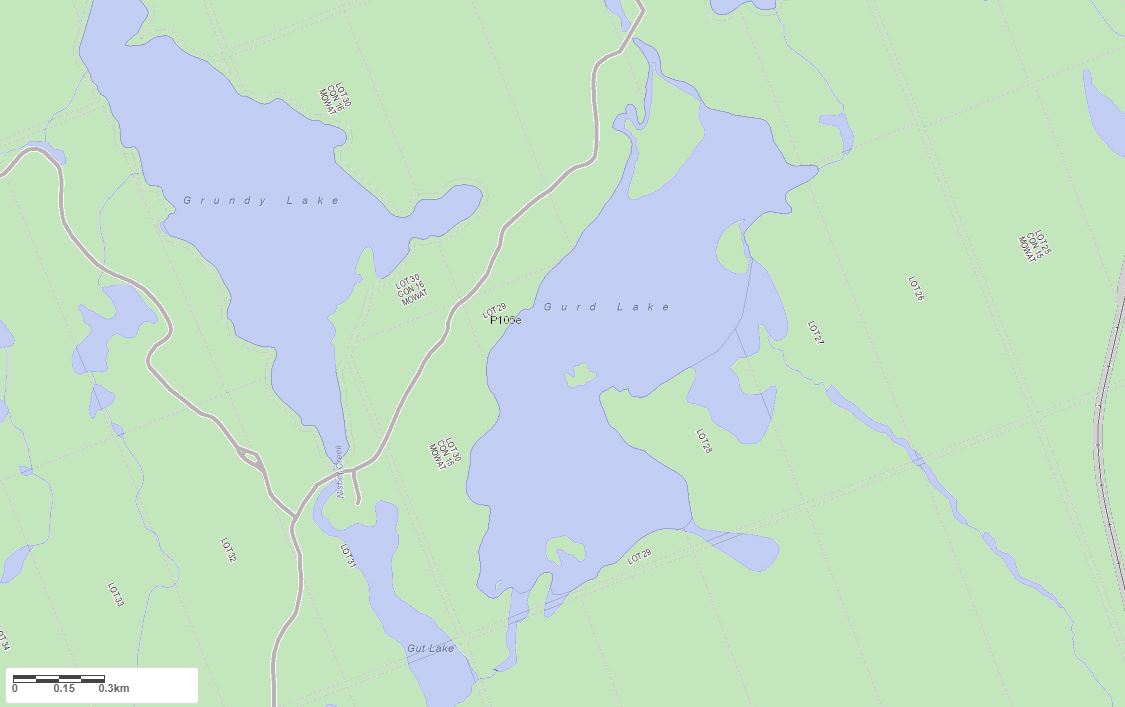
Legend for Crown Land Map
Private Land surrounding Gurd Lake - (Unincorporated)Provincial Park surrounding Gurd Lake - (Unincorporated)
Crown Land surrounding Gurd Lake - (Unincorporated) (General Use)
Conservation Reserve surrounding Gurd Lake - (Unincorporated)
Lake Contour Maps showing the depths of Gurd Lake
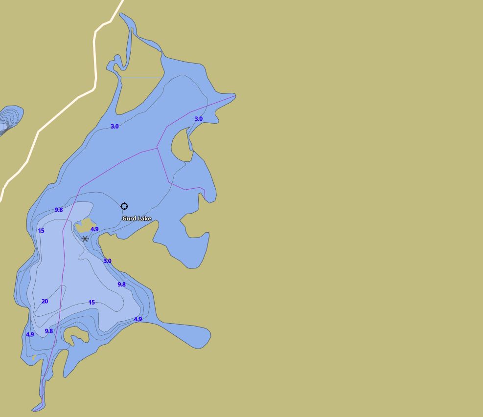
This map is courtesy of Gps Nautical Maps and you can purchase this map as an app from GpsNauticalCharts.com
All measurements of the countour map showing the depths of Gurd Lake are in feet.
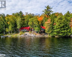
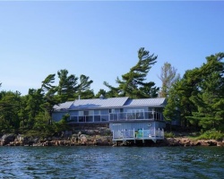
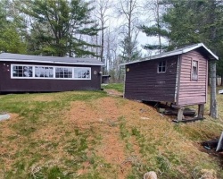
Cottages for Sale on Gurd Lake - (Unincorporated)
Sorry no cottages for sale at the moment on Gurd Lake (Unincorporated)