Kashegaba Lake - (Whitestone)
This Lake Median Lake Average Lake | |
Kashegaba Lake is 417 hectares (1030 Acres) in size The median size lake in our area is 71 hectares or 175 Acres (average size 398 hectares) | 417 71 398 |
|
Kashegaba Lake has a maximum depth 26 meters (85 ft)
The median depth of lakes in our area is 13.5 m or 44 ft (average depth 18 m) | 26 13.5 18 |
| The median depth of Kashegaba Lake is 8.00 m (26 ft) | 8.00 5.2 7 |
|
Kashegaba Lake Perimeter 35.00 km (21.75 Miles)
The median perimiter of lakes in our area is 3.3 km or 2.05 miles (average Perimiter 3.61 km) | 35.00 3.3 4 |
| Kashegaba Lake Island/s Perimeter 5.00 km (3.11 Miles) | |
|
Kashegaba Lake Altitude 230 m (755 ft)
The median altitude of lakes in our area is 290 m or 951 ft (average Altitude is 289 m) | 230 290 289 |
|
Water Clarity of Kashegaba Lake (median 3.2 m) 3.80 m (12ft)
The median Secchi Depth of lakes in our area is 3.2 m or 10 ft (average Secchi Depth is 3 m) | 3.80 3.2 3 |
| Kashegaba Lake's watershed area feeding the Lake (excluding lake) 44.0 km2 (10873 acres) | |
| Drainage Basin of Kashegaba Lake Lower Magnetawan River | |
| Kashegaba Lake's percentage of shoreline which is Crown Land 80 % | |
| Kashegaba Lake is in the Township of Burton | |
| Shoreline Development on Kashegaba Lake is: Low; Shoreline Residential | |
| Public Access to Kashegaba Lake Public | |
| Water Level Management Regulated; water level is controlled by MNR-owned and operated dam. | |
| Major Fish Species in Kashegaba Lake Largemouth Bass, Walleye (I), Smallmouth Bass (I), Northern Pike | |
| Other Fish Species in Kashegaba Lake Rock Bass, Iowa Darter, Bluntnose Minnow, Pumpkinseed, Yellow Perch | |
| Notes: E: extirpated, I: introduced – intentional or accidental, O: occasional, R: remnant, S: currently stocked, ?: status uncertain, 2009: year of first record or introduction if known, blank: presumed native | |
| Much of the above data for Kashegaba Lake is compliments of the Muskoka Water Web maintained by The District Municipality of Muskoka | |
Maps of Kashegaba Lake
Topographical Map of Kashegaba Lake in Whitestone

Legend
 Buildings surrounding Kashegaba Lake
 Buildings surrounding Kashegaba Lake
 Conservation Area surrounding Kashegaba Lake
 Contours of land surrounding Kashegaba Lake
 Index Contour
 Rapids
 Spot Height
 Water Falls
 Water Falls/Rapids
 Waterbody Elevation
 Watercourse
 Wetland surrounding Kashegaba Lake
 Wooded Area surrounding Kashegaba Lake
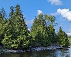
Cottages for Sale on Kashegaba Lake - (Whitestone)
Sorry no cottages for sale at the moment on Kashegaba Lake (Whitestone)
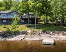
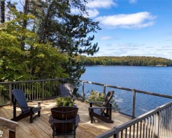
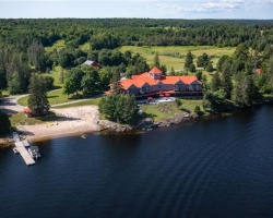
Cottages for Sale close to Kashegaba Lake
Previously listed Cottages on Kashegaba Lake
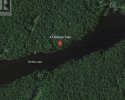
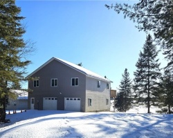
7405 Kashegaba Lake, Parry Sound, P0A1G0 was previously listed 2021-06-22, mls# 40125365
0 Kashegaba Lake ., Dunchurch, P0A1G0 was previously listed 2020-10-23, mls# 40022415
Previously listed Cottages on Kashegaba Lake
7405 Kashegaba Lake, Parry Sound, P0A1G0 was previously listed 2021-06-22, mls# 40125365
0 Kashegaba Lake ., Dunchurch, P0A1G0 was previously listed 2020-10-23, mls# 40022415