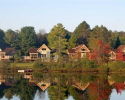
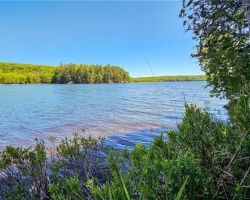
Cherry Island Lake - (Muskoka Lakes)
Average traveling time from the GTA to Cherry Island Lake - (Muskoka Lakes) is 2 hours 6 mins
This Lake Median Lake Average Lake | |
Cherry Island Lake is 3 hectares (7 Acres) in size The median size lake in our area is 71 hectares or 175 Acres (average size 398 hectares) | 3 71 398 |
|
Cherry Island Lake has a maximum depth 6 meters (20 ft)
The median depth of lakes in our area is 13.5 m or 44 ft (average depth 18 m) | 6 13.5 18 |
| The median depth of Cherry Island Lake is 2.00 m (7 ft) | 2.00 5.2 7 |
|
Cherry Island Lake Perimeter 0.60 km (0.37 Miles)
The median perimiter of lakes in our area is 3.3 km or 2.05 miles (average Perimiter 3.61 km) | 0.60 3.3 4 |
|
Cherry Island Lake Altitude 229 m (751 ft)
The median altitude of lakes in our area is 290 m or 951 ft (average Altitude is 289 m) | 229 290 289 |
|
Water Clarity of Cherry Island Lake (median 3.2 m) 3.00 m (10ft)
The median Secchi Depth of lakes in our area is 3.2 m or 10 ft (average Secchi Depth is 3 m) | 3.00 3.2 3 |
| Drainage Basin of Cherry Island Lake Skeleton River | |
| Cherry Island Lake is in the Township of Watt | |
| Local Name of Cherry Island Lake is Cherry Island Lake | |
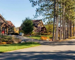
| Shoreline Development on Cherry Island Lake is: moderate; shoreline residential | |
| Public Access to Cherry Island Lake private | |
| Water Level Management not regulated | |
| Other Fish Species in Cherry Island Lake , spottail shiner, creek chub | |
| Much of the above data for Cherry Island Lake is compliments of the Muskoka Water Web maintained by The District Municipality of Muskoka | |
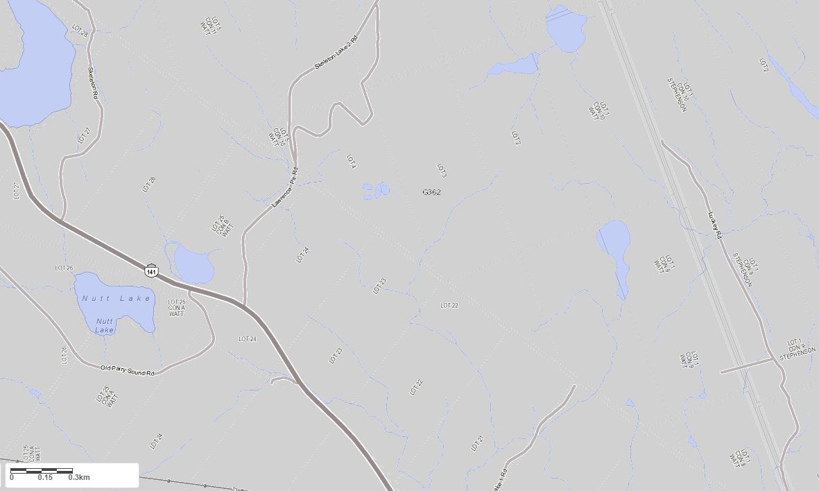
Maps of Cherry Island Lake
Topographical Map of Cherry Island Lake in Muskoka Lakes
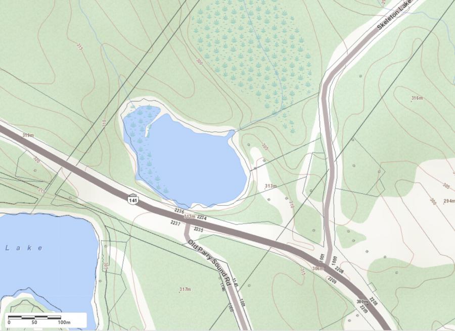
Legend
 Buildings surrounding Cherry Island Lake
 Buildings surrounding Cherry Island Lake
 Conservation Area surrounding Cherry Island Lake
 Contours of land surrounding Cherry Island Lake
 Index Contour
 Rapids
 Spot Height
 Water Falls
 Water Falls/Rapids
 Waterbody Elevation
 Watercourse
 Wetland surrounding Cherry Island Lake
 Wooded Area surrounding Cherry Island Lake
Zoning Map of Cherry Island Lake in Muskoka Lakes
Legend of Muskoka Lakes Zoning Map - Cherry Island Lake
Waterfront ResidentialEnvironmentally Protected
Community Residential
Open Space
Rural
Residential Rural
Waterfront Landing
Waterfront Commercial
Waterbody Open Space
Crown Land Map of Cherry Island Lake in Muskoka Lakes
Legend for Crown Land Map
Private Land surrounding Cherry Island Lake - (Muskoka Lakes)Provincial Park surrounding Cherry Island Lake - (Muskoka Lakes)
Crown Land surrounding Cherry Island Lake - (Muskoka Lakes) (General Use)
Conservation Reserve surrounding Cherry Island Lake - (Muskoka Lakes)
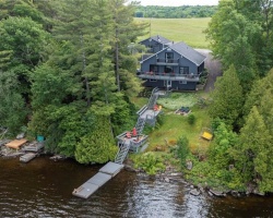
Cottages for Sale on Cherry Island Lake - (Muskoka Lakes)
Sorry no cottages for sale at the moment on Cherry Island Lake (Muskoka Lakes)