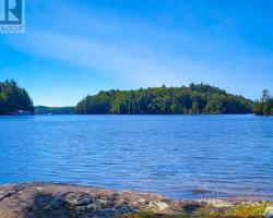
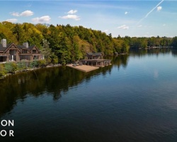
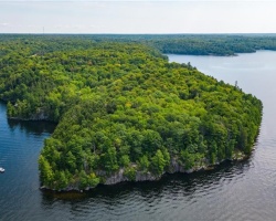
High Lake - (Muskoka Lakes)
Average traveling time from the GTA to High Lake - (Muskoka Lakes) is 2 hours 16 mins
This Lake Median Lake Average Lake | |
High Lake is 65 hectares (161 Acres) in size The median size lake in our area is 71 hectares or 175 Acres (average size 398 hectares) | 65 71 398 |
|
High Lake has a maximum depth 15 meters (49 ft)
The median depth of lakes in our area is 13.5 m or 44 ft (average depth 18 m) | 15 13.5 18 |
| The median depth of High Lake is 7.00 m (23 ft) | 7.00 5.2 7 |
|
High Lake Perimeter 5.00 km (3.11 Miles)
The median perimiter of lakes in our area is 3.3 km or 2.05 miles (average Perimiter 3.61 km) | 5.00 3.3 4 |
| High Lake Island/s Perimeter 0.50 km (0.31 Miles) | |
|
High Lake Altitude 305 m (1001 ft)
The median altitude of lakes in our area is 290 m or 951 ft (average Altitude is 289 m) | 305 290 289 |
|
Water Clarity of High Lake (median 3.2 m) 7.30 m (24ft)
The median Secchi Depth of lakes in our area is 3.2 m or 10 ft (average Secchi Depth is 3 m) | 7.30 3.2 3 |
| 5 % of High Lake shorline is wetland. The median percentage of shoreline which is wetland of lakes in our area is 9 % (average Percentage of shoreline which is wetland 10) % |
Percentage of Shoreline which is wetland 5 9 10 |
|
High Lake's phosphorus content in water is 4.30 ug/L
The median Phosphorus content in the water of lakes in our area is 8 ug/l (average Phosphorus content 9 ug/L | 4.30 8 9 |
| High Lake's watershed area feeding the Lake (excluding lake) 1.6 km2 (395 acres) | |
| Lake Trout found in High Lake: No | |
| Drainage Basin of High Lake Skeleton River | |
| High Lake is in the Township of Watt | |
| Shoreline Development on High Lake is: moderate; shoreline residential | |
| Public Access to High Lake public; boat launch off Fish Hatchery Road Boat Launch | |
| Water Level Management not regulated | |
| Major Fish Species in High Lake lake whitefish, (I), rainbow trout (S), , (I) | |
| Other Fish Species in High Lake | |
| Notes: E: extirpated, I: introduced – intentional or accidental, O: occasional, R: remnant, S: currently stocked, ?: status uncertain, 2009: year of first record or introduction if known, blank: presumed native | |
| Much of the above data for High Lake is compliments of the Muskoka Water Web maintained by The District Municipality of Muskoka | |
Maps of High Lake
Topographical Map of High Lake in Muskoka Lakes
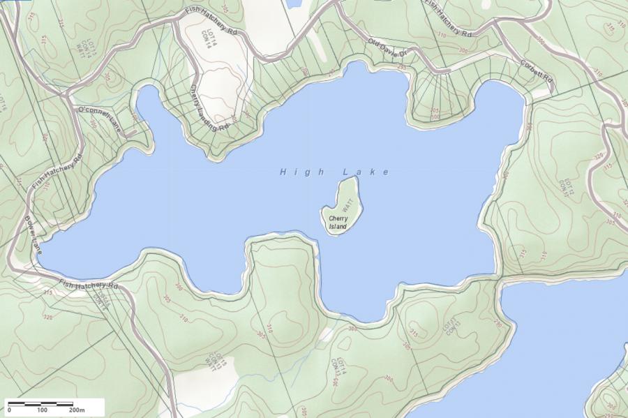
Legend
 Buildings surrounding High Lake
 Buildings surrounding High Lake
 Conservation Area surrounding High Lake
 Contours of land surrounding High Lake
 Index Contour
 Rapids
 Spot Height
 Water Falls
 Water Falls/Rapids
 Waterbody Elevation
 Watercourse
 Wetland surrounding High Lake
 Wooded Area surrounding High Lake
Zoning Map of High Lake in Muskoka Lakes
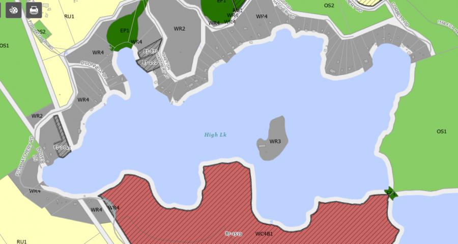
Legend of Muskoka Lakes Zoning Map - High Lake
Waterfront ResidentialEnvironmentally Protected
Community Residential
Open Space
Rural
Residential Rural
Waterfront Landing
Waterfront Commercial
Waterbody Open Space
Crown Land Map of High Lake in Muskoka Lakes
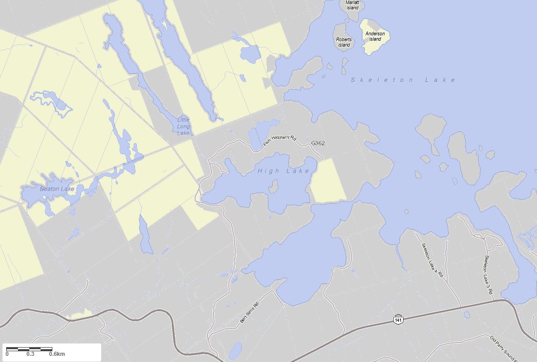
Legend for Crown Land Map
Private Land surrounding High Lake - (Muskoka Lakes)Provincial Park surrounding High Lake - (Muskoka Lakes)
Crown Land surrounding High Lake - (Muskoka Lakes) (General Use)
Conservation Reserve surrounding High Lake - (Muskoka Lakes)
Lake Contour Maps showing the depths of High Lake
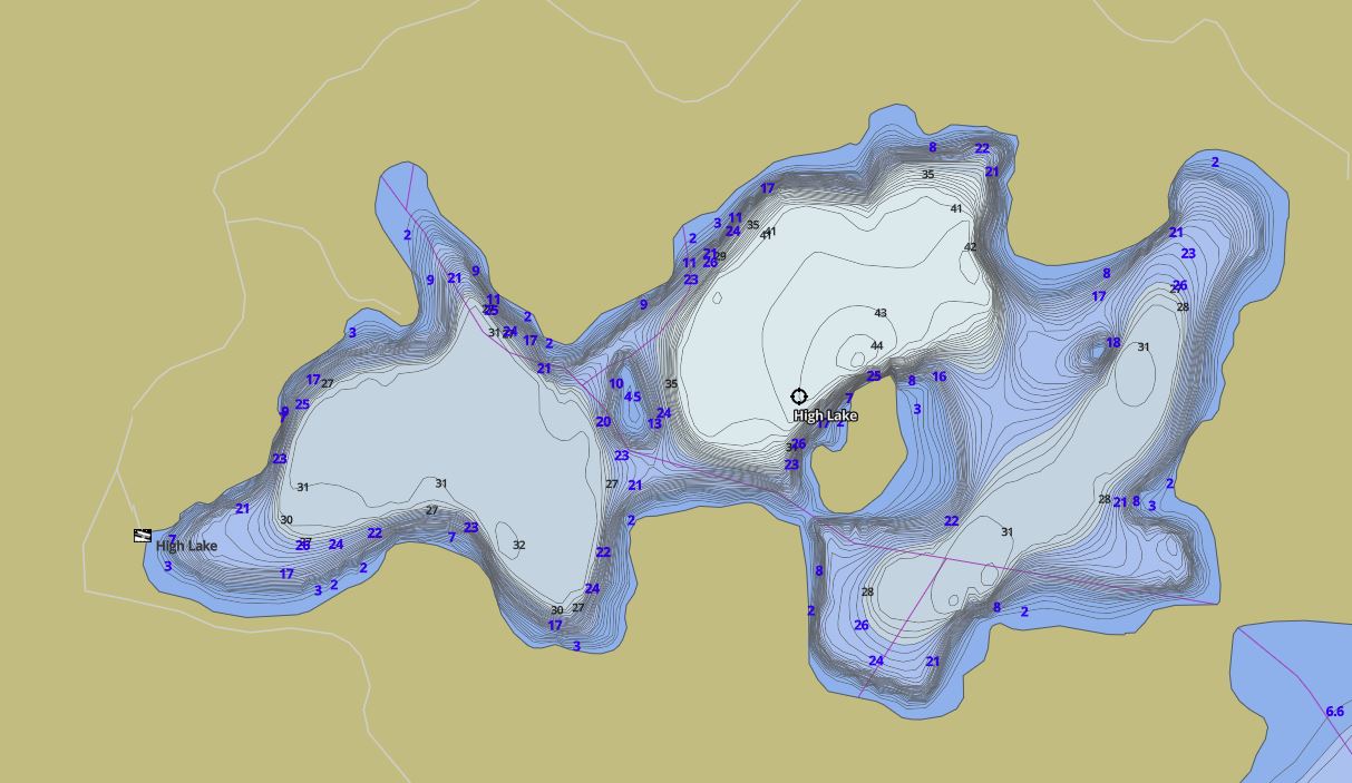
This map is courtesy of Gps Nautical Maps and you can purchase this map as an app from GpsNauticalCharts.com
All measurements of the countour map showing the depths of High Lake are in feet.
Cottages for Sale on High Lake
Cottages for Sale close to High Lake
Previously listed Cottages on High Lake
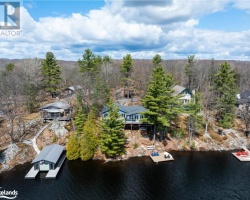
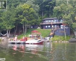
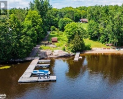
1247 FISH HATCHERY Road, Utterson, P0B1M0 was previously listed 2023-03-31, mls# 40372000
1022 Corbett Road, Utterson, P0B 1M0 was previously listed 2019-11-02, mls# 218070
1390 Fish Hatchery Road, Port Carling, P0B 1M0 was previously listed 2019-09-10, mls# 207125
1390 Fish Hatchery Road, Port Carling, P0B 1M0 was previously listed 2019-08-16, mls# 207125

Previously listed Cottages on High Lake
1247 FISH HATCHERY Road, Utterson, P0B1M0 was previously listed 2023-03-31, mls# 40372000
1022 Corbett Road, Utterson, P0B 1M0 was previously listed 2019-11-02, mls# 218070
1390 Fish Hatchery Road, Port Carling, P0B 1M0 was previously listed 2019-09-10, mls# 207125
1390 Fish Hatchery Road, Port Carling, P0B 1M0 was previously listed 2019-08-16, mls# 207125