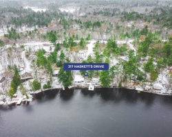
Bearshead Lake - (Georgian Bay)
Average traveling time from the GTA to Bearshead Lake - (Georgian Bay) is 1 hour 38 mins
This Lake Median Lake Average Lake | |
Bearshead Lake is 20 hectares (49 Acres) in size The median size lake in our area is 71 hectares or 175 Acres (average size 398 hectares) | 20 71 398 |
|
Bearshead Lake has a maximum depth 9 meters (30 ft)
The median depth of lakes in our area is 13.5 m or 44 ft (average depth 18 m) | 9 13.5 18 |
|
Bearshead Lake Altitude 178 m (584 ft)
The median altitude of lakes in our area is 290 m or 951 ft (average Altitude is 289 m) | 178 290 289 |
|
Water Clarity of Bearshead Lake (median 3.2 m) 2.00 m (7ft)
The median Secchi Depth of lakes in our area is 3.2 m or 10 ft (average Secchi Depth is 3 m) | 2.00 3.2 3 |
| Bearshead Lake's watershed area feeding the Lake (excluding lake) 1.7 km2 (420 acres) | |
| Drainage Basin of Bearshead Lake Georgian Bay | |
| Bearshead Lake's percentage of shoreline which is Crown Land 40 % | |
| Bearshead Lake is in the Township of Baxter | |
| Shoreline Development on Bearshead Lake is: none | |
| Public Access to Bearshead Lake unknown | |
| Water Level Management not regulated | |
| Major Fish Species in Bearshead Lake (I), , (?) | |
| Other Fish Species in Bearshead Lake , central mudminnow, johnny darter, golden shiner | |
| Notes: E: extirpated, I: introduced – intentional or accidental, O: occasional, R: remnant, S: currently stocked, ?: status uncertain, 2009: year of first record or introduction if known, blank: presumed native | |
| Much of the above data for Bearshead Lake is compliments of the Muskoka Water Web maintained by The District Municipality of Muskoka | |
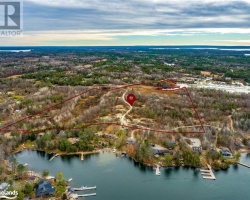
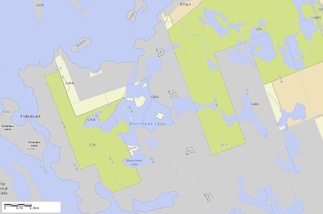
Maps of Bearshead Lake
Topographical Map of Bearshead Lake in Georgian Bay
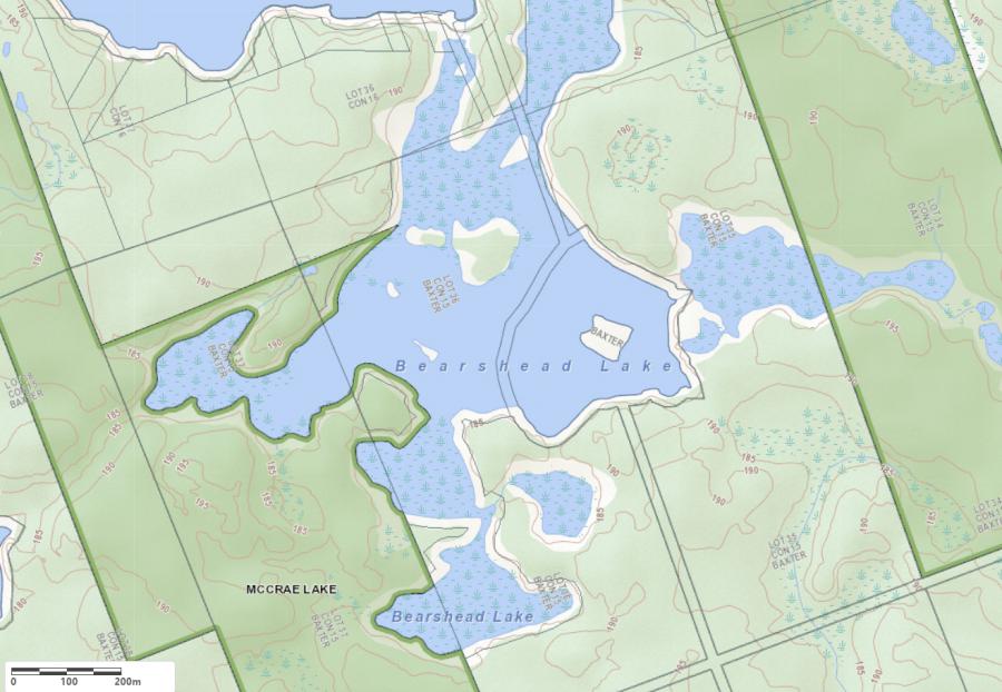
Legend
 Buildings surrounding Bearshead Lake
 Buildings surrounding Bearshead Lake
 Conservation Area surrounding Bearshead Lake
 Contours of land surrounding Bearshead Lake
 Index Contour
 Rapids
 Spot Height
 Water Falls
 Water Falls/Rapids
 Waterbody Elevation
 Watercourse
 Wetland surrounding Bearshead Lake
 Wooded Area surrounding Bearshead Lake
Zoning Map of Bearshead Lake in Georgian Bay
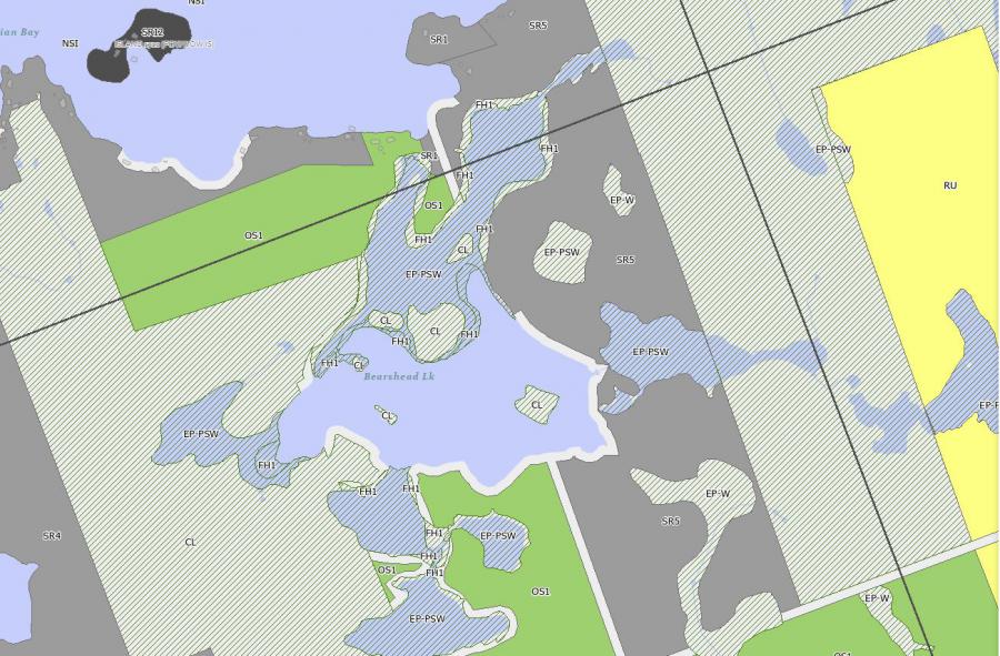
Crown Land Map of Bearshead Lake in Georgian Bay
Legend for Crown Land Map
Private Land surrounding Bearshead Lake - (Georgian Bay)Provincial Park surrounding Bearshead Lake - (Georgian Bay)
Crown Land surrounding Bearshead Lake - (Georgian Bay) (General Use)
Conservation Reserve surrounding Bearshead Lake - (Georgian Bay)
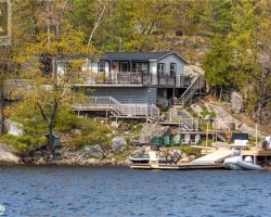
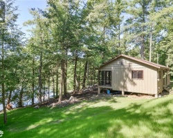
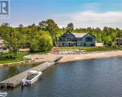
Cottages for Sale on Bearshead Lake - (Georgian Bay)
Sorry no cottages for sale at the moment on Bearshead Lake (Georgian Bay)