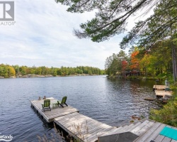
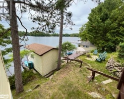
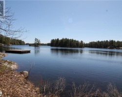
Muldrew Lakes - (Gravenhurst)
Average traveling time from the GTA to Muldrew Lakes - (Gravenhurst) is 1 hour 50 mins
This Lake Median Lake Average Lake | |
Muldrew Lakes is 420 hectares (1038 Acres) in size The median size lake in our area is 71 hectares or 175 Acres (average size 398 hectares) | 420 71 398 |
|
Muldrew Lakes has a maximum depth 18 meters (59 ft)
The median depth of lakes in our area is 13.5 m or 44 ft (average depth 18 m) | 18 13.5 18 |
| The median depth of Muldrew Lakes is 7.00 m (23 ft) | 7.00 5.2 7 |
|
Muldrew Lakes Perimeter 46.00 km (28.58 Miles)
The median perimiter of lakes in our area is 3.3 km or 2.05 miles (average Perimiter 3.61 km) | 46.00 3.3 4 |
| Muldrew Lakes Island/s Perimeter 8.00 km (4.97 Miles) | |
|
Muldrew Lakes Altitude 229 m (751 ft)
The median altitude of lakes in our area is 290 m or 951 ft (average Altitude is 289 m) | 229 290 289 |
|
Water Clarity of Muldrew Lakes (median 3.2 m) 2.80 m (9ft)
The median Secchi Depth of lakes in our area is 3.2 m or 10 ft (average Secchi Depth is 3 m) | 2.80 3.2 3 |
| 18 % of Muldrew Lakes shorline is wetland. The median percentage of shoreline which is wetland of lakes in our area is 9 % (average Percentage of shoreline which is wetland 10) % |
Percentage of Shoreline which is wetland 18 9 10 |
|
Muldrew Lakes's phosphorus content in water is 9.90 ug/L
The median Phosphorus content in the water of lakes in our area is 8 ug/l (average Phosphorus content 9 ug/L | 9.90 8 9 |
| Muldrew Lakes's watershed area feeding the Lake (excluding lake) 49.0 km2 (12108 acres) | |
| Lake Trout found in Muldrew Lakes: No | |
| Drainage Basin of Muldrew Lakes Severn River | |
| Muldrew Lakes's percentage of shoreline which is Crown Land 15 % | |
| Muldrew Lakes is in the Township of Wood | |
| Local Name of Muldrew Lakes is North, Middle and South Muldrew Lake | |
| Shoreline Development on Muldrew Lakes is: intense; commercial, shoreline residential | |
| Public Access to Muldrew Lakes public; via North Muldrew Lake Road | |
| Water Level Management regulated; water level is control by an MNR owned and operated dam.Flows and levels are managed in accordance with the dam operating plan. | |
| Major Fish Species in Muldrew Lakes (I), (I), (I 2007), , I, 2014) | |
| Other Fish Species in Muldrew Lakes , cisco (), , , , (I), sculpin spp.(2011) | |
| Notes: E: extirpated, I: introduced – intentional or accidental, O: occasional, R: remnant, S: currently stocked, ?: status uncertain, 2009: year of first record or introduction if known, blank: presumed native | |
| Much of the above data for Muldrew Lakes is compliments of the Muskoka Water Web maintained by The District Municipality of Muskoka | |
Maps of Muldrew Lakes
Topographical Map of Muldrew Lakes in Gravenhurst
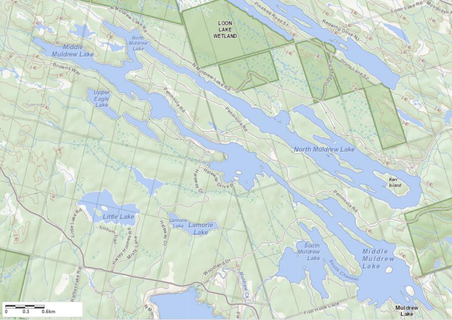
Legend
 Buildings surrounding Muldrew Lakes
 Buildings surrounding Muldrew Lakes
 Conservation Area surrounding Muldrew Lakes
 Contours of land surrounding Muldrew Lakes
 Index Contour
 Rapids
 Spot Height
 Water Falls
 Water Falls/Rapids
 Waterbody Elevation
 Watercourse
 Wetland surrounding Muldrew Lakes
 Wooded Area surrounding Muldrew Lakes
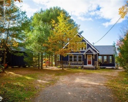
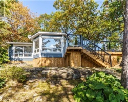
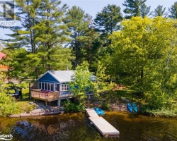
Cottages for Sale on Muldrew Lakes - (Gravenhurst)
Sorry no cottages for sale at the moment on Muldrew Lakes (Gravenhurst)