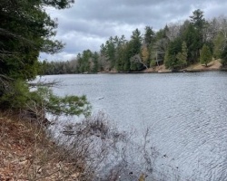
Boy Lake - (McDougall)
Average traveling time from the GTA to Boy Lake - (McDougall) is 2 hours 28 min
This Lake Median Lake Average Lake | |
Boy Lake is 39 hectares (96 Acres) in size The median size lake in our area is 71 hectares or 175 Acres (average size 398 hectares) | 39 71 398 |
|
Boy Lake has a maximum depth 20 meters (66 ft)
The median depth of lakes in our area is 13.5 m or 44 ft (average depth 18 m) | 20 13.5 18 |
| The median depth of Boy Lake is 6.50 m (21 ft) | 6.50 5.2 7 |
|
Boy Lake Perimeter 5.60 km (3.48 Miles)
The median perimiter of lakes in our area is 3.3 km or 2.05 miles (average Perimiter 3.61 km) | 5.60 3.3 4 |
|
Boy Lake Altitude 229 m (751 ft)
The median altitude of lakes in our area is 290 m or 951 ft (average Altitude is 289 m) | 229 290 289 |
|
Water Clarity of Boy Lake (median 3.2 m) 6.20 m (20ft)
The median Secchi Depth of lakes in our area is 3.2 m or 10 ft (average Secchi Depth is 3 m) | 6.20 3.2 3 |
| Boy Lake's watershed area feeding the Lake (excluding lake) 2.5 km2 (618 acres) | |
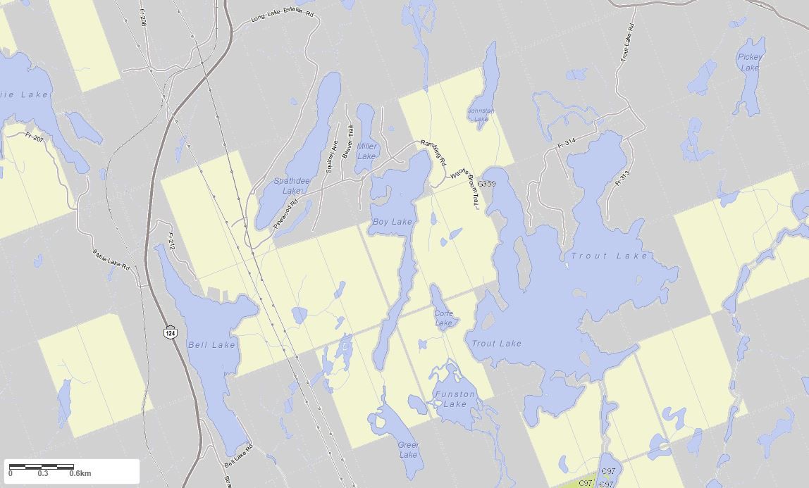
| Drainage Basin of Boy Lake Seguin River | |
| Boy Lake's percentage of shoreline which is Crown Land 70 % | |
| Boy Lake is in the Township of McDougall | |
| Shoreline Development on Boy Lake is: low | |
| Public Access to Boy Lake public: municipal boat launch off Buttercup Road Boat Launch | |
| Water Level Management not regulated | |
| Major Fish Species in Boy Lake splake (S), , (I 2016) | |
| Other Fish Species in Boy Lake , , , , cisc | |
| Notes: E: extirpated, I: introduced – intentional or accidental, O: occasional, R: remnant, S: currently stocked, ?: status uncertain, 2009: year of first record or introduction if known, blank: presumed native | |
| Much of the above data for Boy Lake is compliments of the Muskoka Water Web maintained by The District Municipality of Muskoka | |
Maps of Boy Lake
Topographical Map of Boy Lake in McDougall
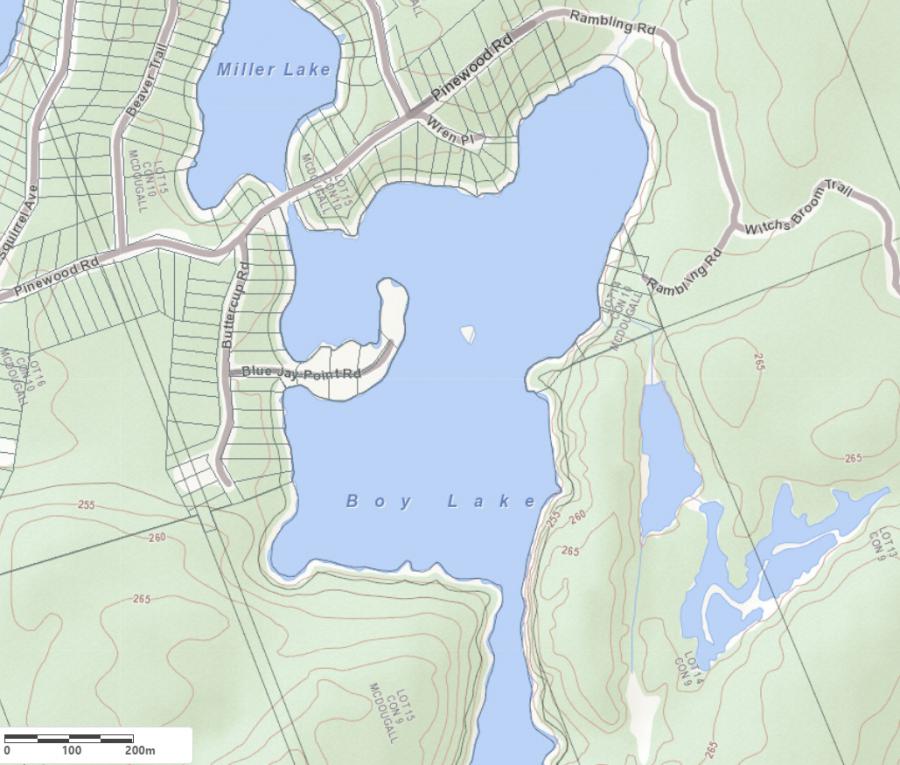
Legend
 Buildings surrounding Boy Lake
 Buildings surrounding Boy Lake
 Conservation Area surrounding Boy Lake
 Contours of land surrounding Boy Lake
 Index Contour
 Rapids
 Spot Height
 Water Falls
 Water Falls/Rapids
 Waterbody Elevation
 Watercourse
 Wetland surrounding Boy Lake
 Wooded Area surrounding Boy Lake
Zoning Map of Boy Lake in McDougall
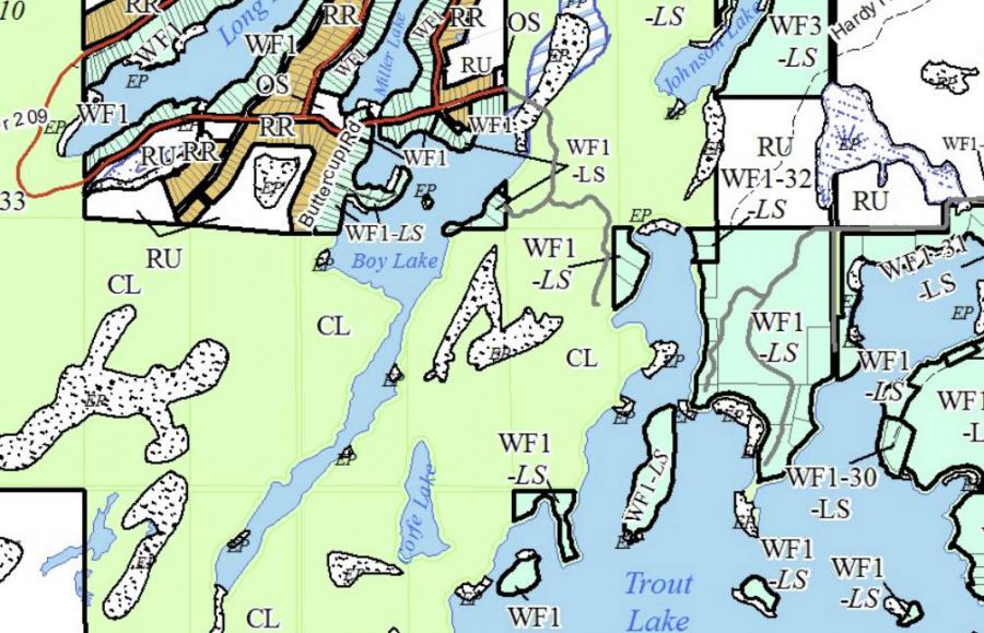
Crown Land Map of Boy Lake in McDougall
Legend for Crown Land Map
Private Land surrounding Boy Lake - (McDougall)Provincial Park surrounding Boy Lake - (McDougall)
Crown Land surrounding Boy Lake - (McDougall) (General Use)
Conservation Reserve surrounding Boy Lake - (McDougall)
Lake Contour Maps showing the depths of Boy Lake
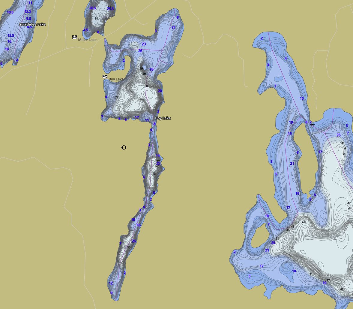
This map is courtesy of Gps Nautical Maps and you can purchase this map as an app from GpsNauticalCharts.com
All measurements of the countour map showing the depths of Boy Lake are in feet.
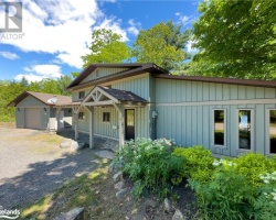
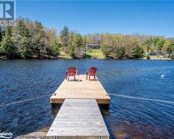
Cottages for Sale on Boy Lake - (McDougall)
Sorry no cottages for sale at the moment on Boy Lake (McDougall)