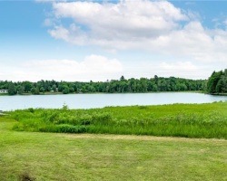
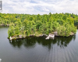
Reay Lake - (Gravenhurst)
Average traveling time from the GTA to Reay Lake - (Gravenhurst) is 1 hour 50 mins
This Lake Median Lake Average Lake | |
Reay Lake is 16 hectares (40 Acres) in size The median size lake in our area is 71 hectares or 175 Acres (average size 398 hectares) | 16 71 398 |
|
Reay Lake has a maximum depth 14 meters (46 ft)
The median depth of lakes in our area is 13.5 m or 44 ft (average depth 18 m) | 14 13.5 18 |
|
Reay Lake Altitude 264 m (866 ft)
The median altitude of lakes in our area is 290 m or 951 ft (average Altitude is 289 m) | 264 290 289 |
|
Water Clarity of Reay Lake (median 3.2 m) 3.20 m (10ft)
The median Secchi Depth of lakes in our area is 3.2 m or 10 ft (average Secchi Depth is 3 m) | 3.20 3.2 3 |
| 8 % of Reay Lake shorline is wetland. The median percentage of shoreline which is wetland of lakes in our area is 9 % (average Percentage of shoreline which is wetland 10) % |
Percentage of Shoreline which is wetland 8 9 10 |
|
Reay Lake's phosphorus content in water is 11.00 ug/L
The median Phosphorus content in the water of lakes in our area is 8 ug/l (average Phosphorus content 9 ug/L | 11.00 8 9 |
| Reay Lake's watershed area feeding the Lake (excluding lake) 1.9 km2 (469 acres) | |
| Lake Trout found in Reay Lake: No | |
| Drainage Basin of Reay Lake Lake Muskoka | |
| Local Name of Reay Lake is Thinn Lake | |
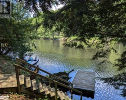
| Public Access to Reay Lake Boat Launch | |
| Much of the above data for Reay Lake is compliments of the Muskoka Water Web maintained by The District Municipality of Muskoka | |
Maps of Reay Lake
Topographical Map of Reay Lake in Gravenhurst
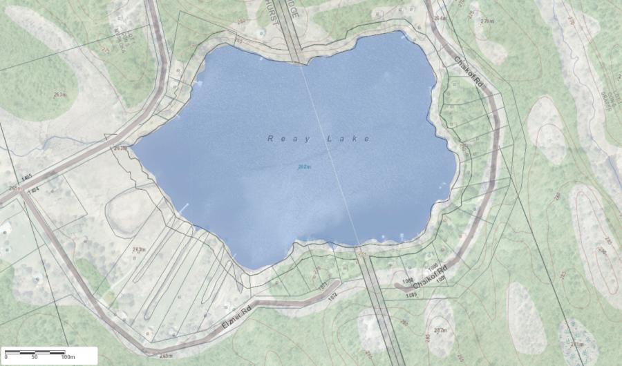
Legend
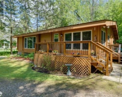
 Buildings surrounding Reay Lake
 Buildings surrounding Reay Lake
 Conservation Area surrounding Reay Lake
 Contours of land surrounding Reay Lake
 Index Contour
 Rapids
 Spot Height
 Water Falls
 Water Falls/Rapids
 Waterbody Elevation
 Watercourse
 Wetland surrounding Reay Lake
 Wooded Area surrounding Reay Lake
Zoning Map of Reay Lake in Gravenhurst
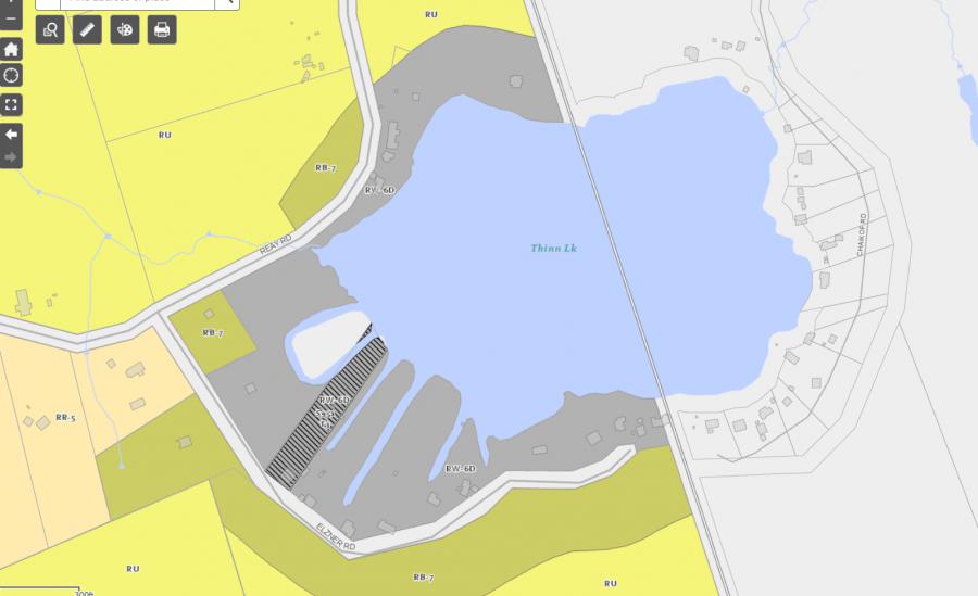
Legend of Gravenhurst Zoning Map - Reay Lake
Residential WaterfrontEnvironmentally Protected
Residential 1
Open Space
Rural
Residential Rural
Waterfront Landing
Residential Island
Commercial Recreational