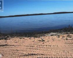
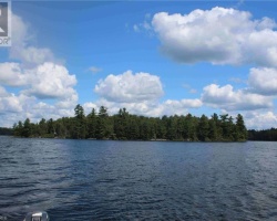
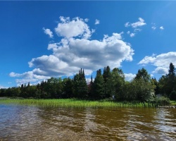
Forest Lake - (Joly)
This Lake Median Lake Average Lake | |
Forest Lake is 322 hectares (796 Acres) in size The median size lake in our area is 71 hectares or 175 Acres (average size 398 hectares) | 322 71 398 |
|
Forest Lake has a maximum depth 17 meters (56 ft)
The median depth of lakes in our area is 13.5 m or 44 ft (average depth 18 m) | 17 13.5 18 |
| The median depth of Forest Lake is 1.20 m (4 ft) | 1.20 5.2 7 |
|
Forest Lake Perimeter 29.80 km (18.52 Miles)
The median perimiter of lakes in our area is 3.3 km or 2.05 miles (average Perimiter 3.61 km) | 29.80 3.3 4 |
|
Forest Lake Altitude 335 m (1099 ft)
The median altitude of lakes in our area is 290 m or 951 ft (average Altitude is 289 m) | 335 290 289 |
| Forest Lake's watershed area feeding the Lake (excluding lake) 324.0 km2 (80062 acres) | |
| Drainage Basin of Forest Lake South River | |
| Forest Lake's percentage of shoreline which is Crown Land 15 % | |
| Forest Lake is in the Township of Joly | |
| Shoreline Development on Forest Lake is: Moderate; urban, shoreline residential, recreation camp | |
| Public Access to Forest Lake Public; launches off River Road and Chemical Road | |
| Water Level Management Regulated; water level is controlled by MNR-owned dam at the north end of Forest Lake. The Village of South River is currently operates the dam and hydro-electric generating station. Flows and levels are regulated by the South River Water Management Plan. | |
| Major Fish Species in Forest Lake (I 2007), (I), (I 2015) | |
| Other Fish Species in Forest Lake golden shiner, blacknose shiner, creek chub, lake chub, cisco, (I), , , trout-perch, Iowa darter, , , (I 2007) | |
| Notes: E: extirpated, I: introduced – intentional or accidental, O: occasional, R: remnant, S: currently stocked, ?: status uncertain, 2009: year of first record or introduction if known, blank: presumed native | |
| Much of the above data for Forest Lake is compliments of the Muskoka Water Web maintained by The District Municipality of Muskoka | |
Maps of Forest Lake
Topographical Map of Forest Lake in Joly
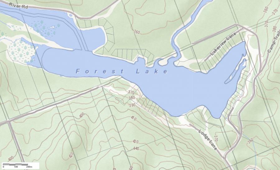
Legend
 Buildings surrounding Forest Lake
 Buildings surrounding Forest Lake
 Conservation Area surrounding Forest Lake
 Contours of land surrounding Forest Lake
 Index Contour
 Rapids
 Spot Height
 Water Falls
 Water Falls/Rapids
 Waterbody Elevation
 Watercourse
 Wetland surrounding Forest Lake
 Wooded Area surrounding Forest Lake
Cottages for Sale on Forest Lake
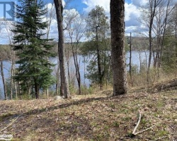
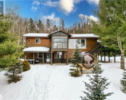
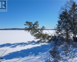
Cottages for Sale close to Forest Lake
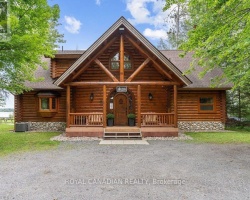
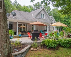
Previously listed Cottages on Forest Lake
188 RIVER Road, Sundridge, P0A1Z0 was previously listed 2023-10-31, mls# 40402387
11 PEACOCK EXTENSION Road, Sundridge, P0A1Z0 was previously listed 2023-10-31, mls# 40433813
188 RIVER Road, Sundridge, P0A1Z0 was previously listed 2023-01-09, mls# 40334714
84 CEDAR Lane, Joly, P0A1Z0 was previously listed 2022-12-24, mls# 40339233
LT 13 CON 12 PEACOCK EXTENSION Road, Joly, P0A1Z0 was previously listed 2022-12-07, mls# 40320298
84 CEDAR Lane, Joly, P0A1Z0 was previously listed 2022-10-20, mls# 40324812
188 RIVER Road, Sundridge, P0A1Z0 was previously listed 2022-10-08, mls# 40237635
LT 13 CON 12 PEACOCK EXTENSION Road, Joly, P0A1Z0 was previously listed 2022-09-03, mls# 40271773
11 PEACOCK EXTENSION Road, Sundridge, P0A1Z0 was previously listed 2022-08-01, mls# 40250195
PT LT 13 CON 12 PEACOCK EXTENSION Road, Joly, P0A1Z0 was previously listed 2022-07-01, mls# 40237793
11 Peacock Extension Road, Sundridge, P0A1Z0 was previously listed 2022-02-03, mls# 40127450