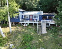
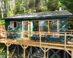
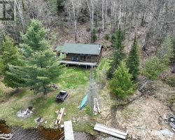
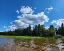
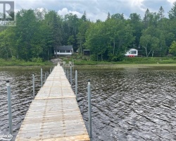
Pool Lake - (Strong)
This Lake Median Lake Average Lake | |
Pool Lake is 112 hectares (277 Acres) in size The median size lake in our area is 71 hectares or 175 Acres (average size 398 hectares) | 112 71 398 |
|
Pool Lake has a maximum depth 4 meters (13 ft)
The median depth of lakes in our area is 13.5 m or 44 ft (average depth 18 m) | 4 13.5 18 |
| The median depth of Pool Lake is 2.10 m (7 ft) | 2.10 5.2 7 |
|
Pool Lake Perimeter 5.30 km (3.29 Miles)
The median perimiter of lakes in our area is 3.3 km or 2.05 miles (average Perimiter 3.61 km) | 5.30 3.3 4 |
| Pool Lake Island/s Perimeter 0.10 km (0.06 Miles) | |
|
Pool Lake Altitude 331 m (1086 ft)
The median altitude of lakes in our area is 290 m or 951 ft (average Altitude is 289 m) | 331 290 289 |
| Pool Lake's watershed area feeding the Lake (excluding lake) 5.3 km2 (1310 acres) | |
| Drainage Basin of Pool Lake Magnetawan River | |
| Pool Lake's percentage of shoreline which is Crown Land 30 % | |
| Pool Lake is in the Township of Strong | |
| Shoreline Development on Pool Lake is: moderate; shoreline residential | |
| Public Access to Pool Lake Unknown | |
| Water Level Management Not regulated | |
| Major Fish Species in Pool Lake (I), (I), (R), (I?) | |
| Other Fish Species in Pool Lake , , , northern redbelly dace, pearl dace | |
| Notes: E: extirpated, I: introduced – intentional or accidental, O: occasional, R: remnant, S: currently stocked, ?: status uncertain, 2009: year of first record or introduction if known, blank: presumed native | |
| Much of the above data for Pool Lake is compliments of the Muskoka Water Web maintained by The District Municipality of Muskoka | |
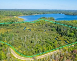
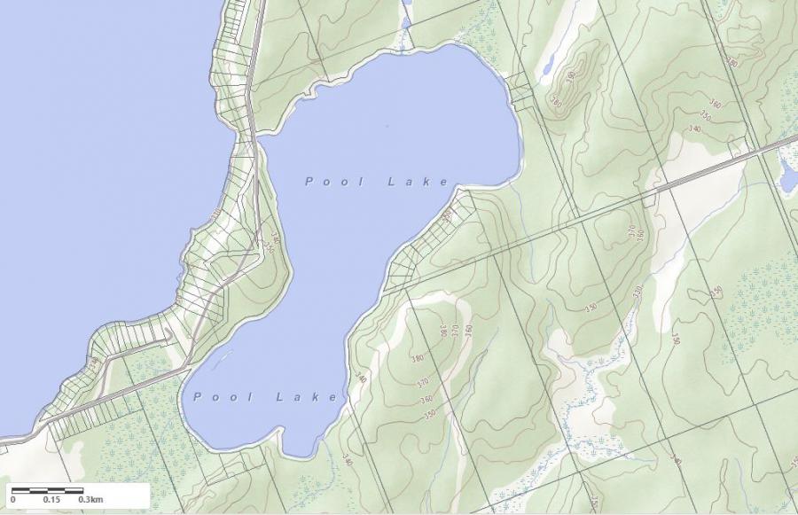
Maps of Pool Lake
Topographical Map of Pool Lake in Strong
Legend
 Buildings surrounding Pool Lake
 Buildings surrounding Pool Lake
 Conservation Area surrounding Pool Lake
 Contours of land surrounding Pool Lake
 Index Contour
 Rapids
 Spot Height
 Water Falls
 Water Falls/Rapids
 Waterbody Elevation
 Watercourse
 Wetland surrounding Pool Lake
 Wooded Area surrounding Pool Lake
Crown Land Map of Pool Lake in Strong
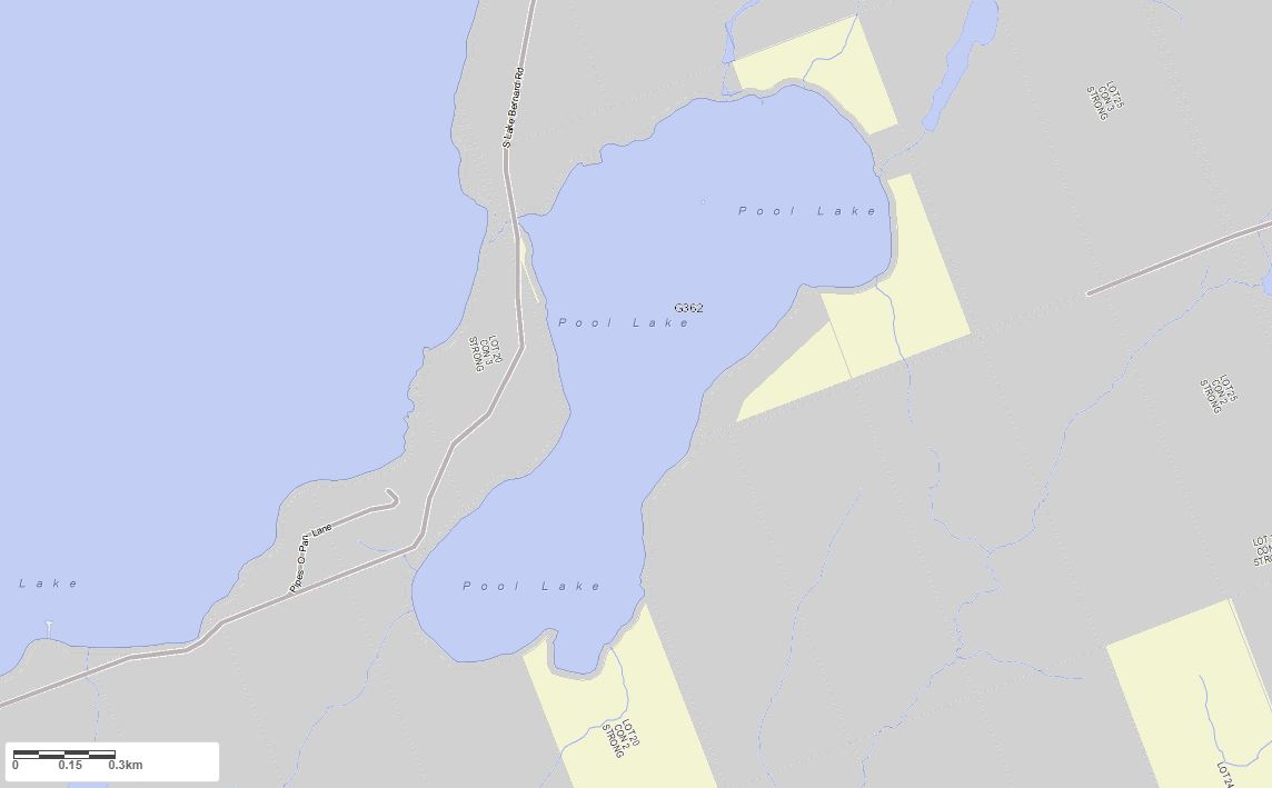
Legend for Crown Land Map
Private Land surrounding Pool Lake - (Strong)Provincial Park surrounding Pool Lake - (Strong)
Crown Land surrounding Pool Lake - (Strong) (General Use)
Conservation Reserve surrounding Pool Lake - (Strong)