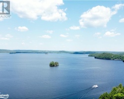
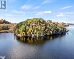
Siding Lake - (Huntsville)
Average traveling time from the GTA to Siding Lake - (Huntsville) is 2 hours 3 mins
This Lake Median Lake Average Lake | |
Siding Lake is 59 hectares (146 Acres) in size The median size lake in our area is 71 hectares or 175 Acres (average size 398 hectares) | 59 71 398 |
|
Siding Lake has a maximum depth 2 meters (7 ft)
The median depth of lakes in our area is 13.5 m or 44 ft (average depth 18 m) | 2 13.5 18 |
|
Siding Lake Altitude 306 m (1004 ft)
The median altitude of lakes in our area is 290 m or 951 ft (average Altitude is 289 m) | 306 290 289 |
|
Water Clarity of Siding Lake (median 3.2 m) 1.30 m (4ft)
The median Secchi Depth of lakes in our area is 3.2 m or 10 ft (average Secchi Depth is 3 m) | 1.30 3.2 3 |
| 22 % of Siding Lake shorline is wetland. The median percentage of shoreline which is wetland of lakes in our area is 9 % (average Percentage of shoreline which is wetland 10) % |
Percentage of Shoreline which is wetland 22 9 10 |
|
Siding Lake's phosphorus content in water is 13.80 ug/L
The median Phosphorus content in the water of lakes in our area is 8 ug/l (average Phosphorus content 9 ug/L | 13.80 8 9 |
| Siding Lake's watershed area feeding the Lake (excluding lake) 3.2 km2 (791 acres) | |
| Lake Trout found in Siding Lake: No | |
| Drainage Basin of Siding Lake Mary Lake | |
| Public Access to Siding Lake Boat Launch | |
| Much of the above data for Siding Lake is compliments of the Muskoka Water Web maintained by The District Municipality of Muskoka | |
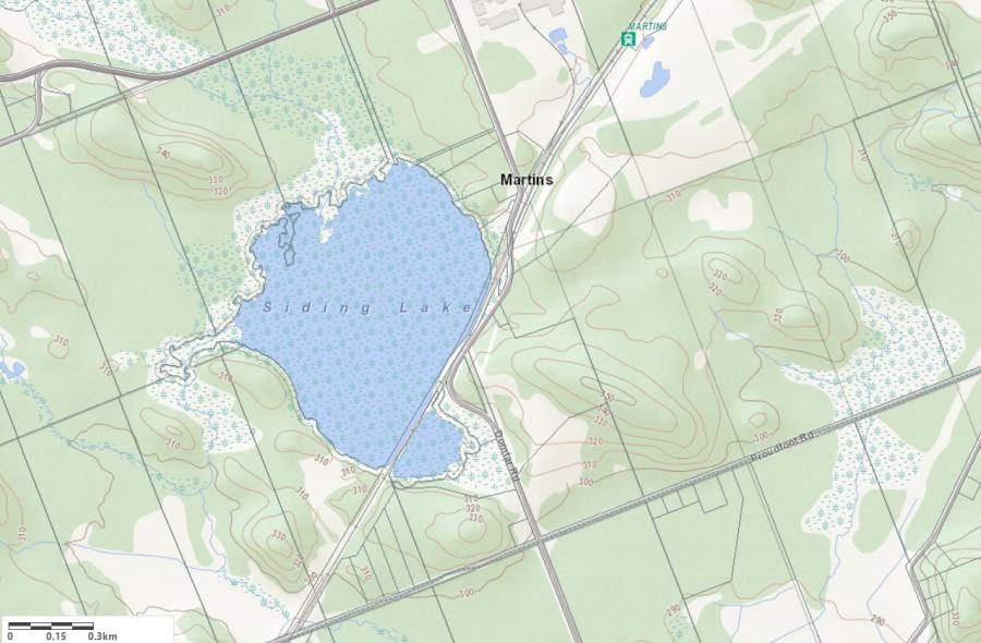
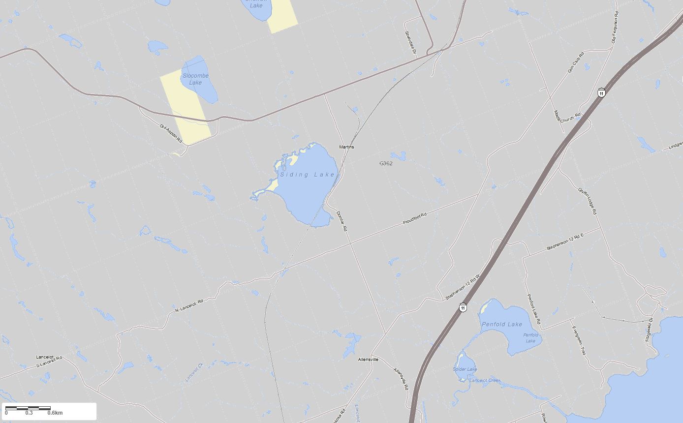
Maps of Siding Lake
Topographical Map of Siding Lake in Huntsville
Legend
 Buildings surrounding Siding Lake
 Buildings surrounding Siding Lake
 Conservation Area surrounding Siding Lake
 Contours of land surrounding Siding Lake
 Index Contour
 Rapids
 Spot Height
 Water Falls
 Water Falls/Rapids
 Waterbody Elevation
 Watercourse
 Wetland surrounding Siding Lake
 Wooded Area surrounding Siding Lake
Zoning Map of Siding Lake in Huntsville
Legend of Huntsville Zoning Map - Siding Lake
SR1 - Shoreroad Residential 1SR2 - Shoreroad Residential 2
SR3 - Shoreroad Residential 3
SR3 - Shoreroad Residential 4
NR - Natural Resource
NR1 - Natural Resource Floodway
NR2 - Natural Resource Floodfrindge
C - Conservation
CS4 - Marina
O1 - Open Space 1
O2 - Open Space 2
RR - Rural Residential
RU1 - Rural 1
RU2 - Rural 2
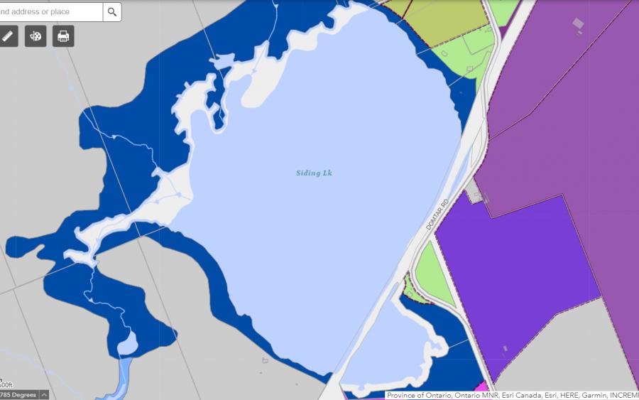
Crown Land Map of Siding Lake in Huntsville
Legend for Crown Land Map
Private Land surrounding Siding Lake - (Huntsville)Provincial Park surrounding Siding Lake - (Huntsville)
Crown Land surrounding Siding Lake - (Huntsville) (General Use)
Conservation Reserve surrounding Siding Lake - (Huntsville)
Cottages for Sale on Siding Lake - (Huntsville)
Sorry no cottages for sale at the moment on Siding Lake (Huntsville)