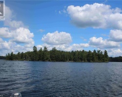
Deer Lake - (Unorganized)
There another 2 Deer Lake's : Deer Lake in Wood of Gravenhurst Deer Lake in Armour of Armour
This Lake Median Lake Average Lake | |
Deer Lake is 394 hectares (974 Acres) in size The median size lake in our area is 71 hectares or 175 Acres (average size 398 hectares) | 394 71 398 |
|
Deer Lake has a maximum depth 15 meters (49 ft)
The median depth of lakes in our area is 13.5 m or 44 ft (average depth 18 m) | 15 13.5 18 |
| The median depth of Deer Lake is 5.00 m (16 ft) | 5.00 5.2 7 |
|
Deer Lake Perimeter 19.00 km (11.81 Miles)
The median perimiter of lakes in our area is 3.3 km or 2.05 miles (average Perimiter 3.61 km) | 19.00 3.3 4 |
| Deer Lake Island/s Perimeter 1.00 km (0.62 Miles) | |
|
Deer Lake Altitude 335 m (1099 ft)
The median altitude of lakes in our area is 290 m or 951 ft (average Altitude is 289 m) | 335 290 289 |
|
Water Clarity of Deer Lake (median 3.2 m) 3.50 m (11ft)
The median Secchi Depth of lakes in our area is 3.2 m or 10 ft (average Secchi Depth is 3 m) | 3.50 3.2 3 |
| Deer Lake's watershed area feeding the Lake (excluding lake) 21.0 km2 (5189 acres) | |
| Drainage Basin of Deer Lake Commanda Creek | |
| Deer Lake's percentage of shoreline which is Crown Land 10 % | |
| Deer Lake is in the Township of Lount | |
| Local Name of Deer Lake is Deete Lake | |
| Shoreline Development on Deer Lake is: moderate; shoreline residential | |
| Public Access to Deer Lake public; boat launch off of Eagle Lake Road | |
| Water Level Management not regulated | |
| Major Fish Species in Deer Lake (E), (I ~1930), (I 1988), (I 2015), (I 2017) | |
| Other Fish Species in Deer Lake , cisco (), , (I ~1930’s), (I) | |
| Notes: E: extirpated, I: introduced – intentional or accidental, O: occasional, R: remnant, S: currently stocked, ?: status uncertain, 2009: year of first record or introduction if known, blank: presumed native | |
| Much of the above data for Deer Lake is compliments of the Muskoka Water Web maintained by The District Municipality of Muskoka | |
Maps of Deer Lake
Topographical Map of Deer Lake in Unorganized
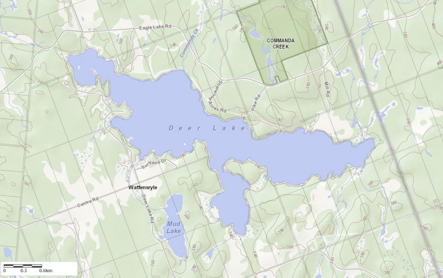
Legend
 Buildings surrounding Deer Lake
 Buildings surrounding Deer Lake
 Conservation Area surrounding Deer Lake
 Contours of land surrounding Deer Lake
 Index Contour
 Rapids
 Spot Height
 Water Falls
 Water Falls/Rapids
 Waterbody Elevation
 Watercourse
 Wetland surrounding Deer Lake
 Wooded Area surrounding Deer Lake
Crown Land Map of Deer Lake in Unorganized
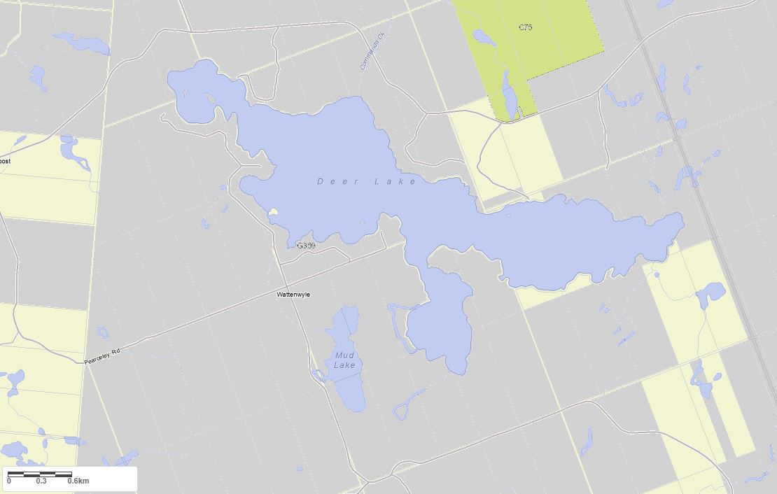
Legend for Crown Land Map
Private Land surrounding Deer Lake - (Unorganized)Provincial Park surrounding Deer Lake - (Unorganized)
Crown Land surrounding Deer Lake - (Unorganized) (General Use)
Conservation Reserve surrounding Deer Lake - (Unorganized)
Lake Contour Maps showing the depths of Deer Lake
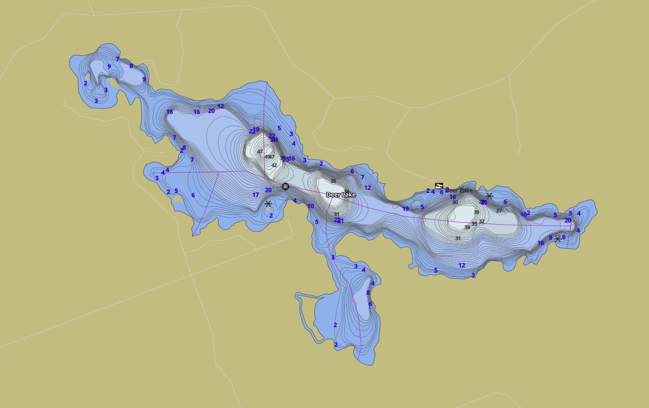
This map is courtesy of Gps Nautical Maps and you can purchase this map as an app from GpsNauticalCharts.com
All measurements of the countour map showing the depths of Deer Lake are in feet.
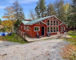
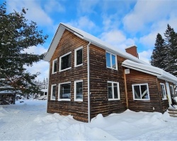
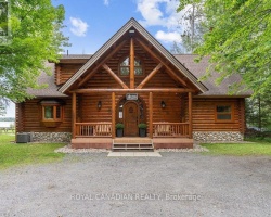
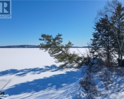
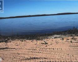
Cottages for Sale on Deer Lake
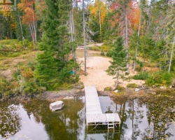
Cottages for Sale close to Deer Lake
Previously listed Cottages on Deer Lake
12 MAXWELL Lane, South River, P0A1Z0 was previously listed 2023-10-31, mls# 40497464
739 DEER LAKE Road, South River, P0A1X0 was previously listed 2023-10-12, mls# 40460297
12 MAXWELL Lane, Lount, P0A1Z0 was previously listed 2023-08-23, mls# 40455156
6 EEE'S Road, South River, P0A1X0 was previously listed 2023-08-03, mls# 40436587
8 MAXWELL Lane, South River, P0A0A3 was previously listed 2023-03-29, mls# 40334583
1 MAXWELL Lane, South River, P0A1X0 was previously listed 2022-07-01, mls# 40270323
3 KEELE Road, Whitestone, P0A1G0 was previously listed 2022-06-01, mls# 40261098
740 Deer Lake Road, Lount, P0A1X0 was previously listed 2021-12-07, mls# 40178965
361 North Deer Lake Road, Port Sydney, P0B1L0 was previously listed 2021-09-04, mls# 40156497
719 Deer Lake Road, South River, P0A1X0 was previously listed 2021-08-25, mls# 40156265
12 Maxwell Lane, South River, P0A0A3 was previously listed 2021-08-19, mls# 40129701
0 Centre Road Unit# 4&6, South River, P0A0A3 was previously listed 2021-06-16, mls# 40082621
Lot 1 Cherry Hill Road, Emsdale, P0A1C0 was previously listed 2020-05-01, mls# 246344
Lot 2 Cherry Hill Road, Armour, P0A1C0 was previously listed 2020-05-01, mls# 228776
, Emsdale, P0A1C0 was previously listed 2020-02-26, mls# 227477
875 Cherry Hill Road, Emsdale, P0A 1C0 was previously listed 2019-09-12, mls# 192927
4 Eee's Road, South River, P0A 1X0 was previously listed 2019-08-16, mls# 209817