Torrance Lake - (Muskoka Lakes)
Average traveling time from the GTA to Torrance Lake - (Muskoka Lakes) is 1 hour 57 mins
This Lake Median Lake Average Lake | |
Torrance Lake is 149 hectares (368 Acres) in size The median size lake in our area is 71 hectares or 175 Acres (average size 398 hectares) | 149 71 398 |
|
Torrance Lake has a maximum depth 16 meters (52 ft)
The median depth of lakes in our area is 13.5 m or 44 ft (average depth 18 m) | 16 13.5 18 |
|
Torrance Lake Altitude 231 m (758 ft)
The median altitude of lakes in our area is 290 m or 951 ft (average Altitude is 289 m) | 231 290 289 |
|
Water Clarity of Torrance Lake (median 3.2 m) 5.50 m (18ft)
The median Secchi Depth of lakes in our area is 3.2 m or 10 ft (average Secchi Depth is 3 m) | 5.50 3.2 3 |
|
Torrance Lake's phosphorus content in water is 6.60 ug/L
The median Phosphorus content in the water of lakes in our area is 8 ug/l (average Phosphorus content 9 ug/L | 6.60 8 9 |
| Torrance Lake's watershed area feeding the Lake (excluding lake) 0.8 km2 (198 acres) | |
| Lake Trout found in Torrance Lake: No | |
| Drainage Basin of Torrance Lake Lake Muskoka | |
| Local Name of Torrance Lake is Clear Lake | |
| Public Access to Torrance Lake Boat Launch | |
| Much of the above data for Torrance Lake is compliments of the Muskoka Water Web maintained by The District Municipality of Muskoka | |
Maps of Torrance Lake
Topographical Map of Torrance Lake in Muskoka Lakes
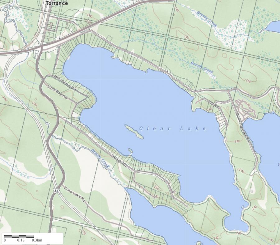
Legend
 Buildings surrounding Torrance Lake
 Buildings surrounding Torrance Lake
 Conservation Area surrounding Torrance Lake
 Contours of land surrounding Torrance Lake
 Index Contour
 Rapids
 Spot Height
 Water Falls
 Water Falls/Rapids
 Waterbody Elevation
 Watercourse
 Wetland surrounding Torrance Lake
 Wooded Area surrounding Torrance Lake
Crown Land Map of Torrance Lake in Muskoka Lakes
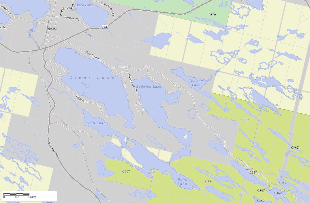
Legend for Crown Land Map
Private Land surrounding Torrance Lake - (Muskoka Lakes)Provincial Park surrounding Torrance Lake - (Muskoka Lakes)
Crown Land surrounding Torrance Lake - (Muskoka Lakes) (General Use)
Conservation Reserve surrounding Torrance Lake - (Muskoka Lakes)
Lake Contour Maps showing the depths of Torrance Lake
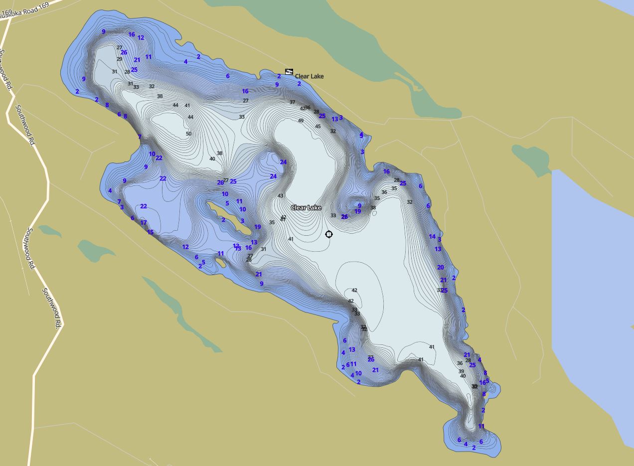
This map is courtesy of Gps Nautical Maps and you can purchase this map as an app from GpsNauticalCharts.com
All measurements of the countour map showing the depths of Torrance Lake are in feet.
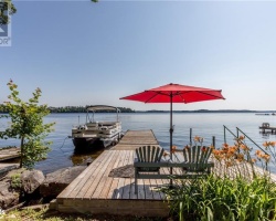
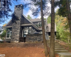
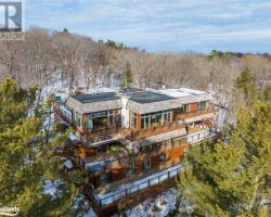
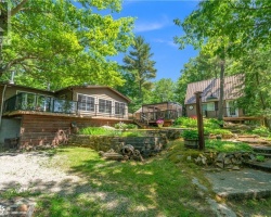
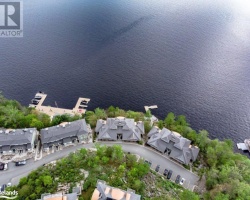
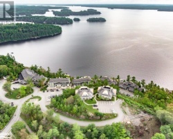
Cottages for Sale on Torrance Lake - (Muskoka Lakes)
Sorry no cottages for sale at the moment on Torrance Lake (Muskoka Lakes)