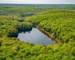
South Nelson Lake - (Lake of Bays)
Average traveling time from the GTA to South Nelson Lake - (Lake of Bays) is 2 hours 36 mins
This Lake Median Lake Average Lake | |
South Nelson Lake is 15 hectares (37 Acres) in size The median size lake in our area is 71 hectares or 175 Acres (average size 398 hectares) | 15 71 398 |
|
South Nelson Lake has a maximum depth 6 meters (20 ft)
The median depth of lakes in our area is 13.5 m or 44 ft (average depth 18 m) | 6 13.5 18 |
|
South Nelson Lake Altitude 401 m (1316 ft)
The median altitude of lakes in our area is 290 m or 951 ft (average Altitude is 289 m) | 401 290 289 |
|
Water Clarity of South Nelson Lake (median 3.2 m) 2.50 m (8ft)
The median Secchi Depth of lakes in our area is 3.2 m or 10 ft (average Secchi Depth is 3 m) | 2.50 3.2 3 |
| 5 % of South Nelson Lake shorline is wetland. The median percentage of shoreline which is wetland of lakes in our area is 9 % (average Percentage of shoreline which is wetland 10) % |
Percentage of Shoreline which is wetland 5 9 10 |
|
South Nelson Lake's phosphorus content in water is 8.60 ug/L
The median Phosphorus content in the water of lakes in our area is 8 ug/l (average Phosphorus content 9 ug/L | 8.60 8 9 |
| South Nelson Lake's watershed area feeding the Lake (excluding lake) 0.0 km2 (0 acres) | |
| Lake Trout found in South Nelson Lake: No | |
| Drainage Basin of South Nelson Lake Oxtongue River | |
| Public Access to South Nelson Lake Boat Launch | |
| Much of the above data for South Nelson Lake is compliments of the Muskoka Water Web maintained by The District Municipality of Muskoka | |
Maps of South Nelson Lake
Topographical Map of South Nelson Lake in Lake of Bays
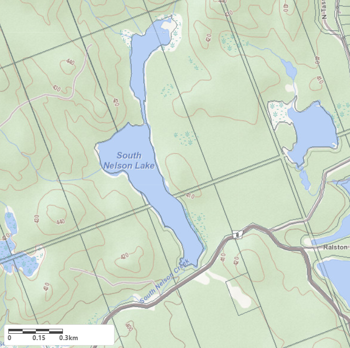
Legend
 Buildings surrounding South Nelson Lake
 Buildings surrounding South Nelson Lake
 Conservation Area surrounding South Nelson Lake
 Contours of land surrounding South Nelson Lake
 Index Contour
 Rapids
 Spot Height
 Water Falls
 Water Falls/Rapids
 Waterbody Elevation
 Watercourse
 Wetland surrounding South Nelson Lake
 Wooded Area surrounding South Nelson Lake
Zoning Map of South Nelson Lake in Lake of Bays
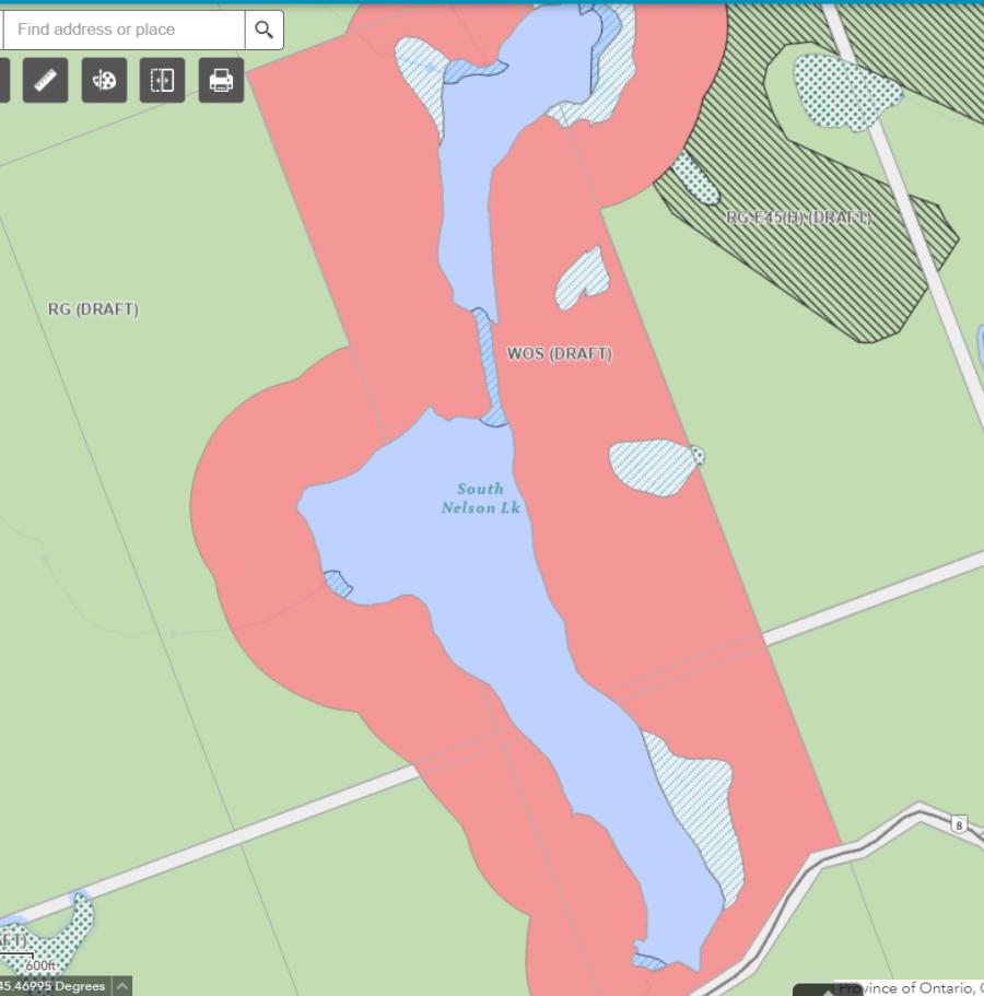
Legend of Lake of Bays Zoning Map - South Nelson Lake
WR - Waterfront Residential 1RU - Rural
OS - Open Space
CSR - Community Settlement Residential
RL - Rural Limited
WOS - Waterfront Open Space
RR - Rural Residential
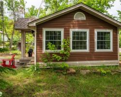
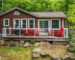
Cottages for Sale on South Nelson Lake - (Lake of Bays)
Sorry no cottages for sale at the moment on South Nelson Lake (Lake of Bays)