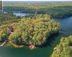
Lower Fry Lake - (Monteith)
This Lake Median Lake Average Lake | |
Lower Fry Lake is 27 hectares (67 Acres) in size The median size lake in our area is 71 hectares or 175 Acres (average size 398 hectares) | 27 71 398 |
|
Lower Fry Lake Perimeter 2.90 km (1.8 Miles)
The median perimiter of lakes in our area is 3.3 km or 2.05 miles (average Perimiter 3.61 km) | 2.90 3.3 4 |
| Lower Fry Lake Island/s Perimeter 0.30 km (0.19 Miles) | |
|
Lower Fry Lake Altitude 300 m (984 ft)
The median altitude of lakes in our area is 290 m or 951 ft (average Altitude is 289 m) | 300 290 289 |
| Lower Fry Lake's watershed area feeding the Lake (excluding lake) 121.0 km2 (29900 acres) | |
| Drainage Basin of Lower Fry Lake Seguin River | |
| Lower Fry Lake is in the Township of Monteith | |
| Shoreline Development on Lower Fry Lake is: Low; Shoreline residential | |
| Public Access to Lower Fry Lake Private | |
| Water Level Management Not regulated | |
| Major Fish Species in Lower Fry Lake Northern Pike, Smallmouth Bass (I), Walleye (I), Largemouth Bass | |
| Other Fish Species in Lower Fry Lake Rock Bass (I) | |
| Notes: E: extirpated, I: introduced – intentional or accidental, O: occasional, R: remnant, S: currently stocked, ?: status uncertain, 2009: year of first record or introduction if known, blank: presumed native | |
| Much of the above data for Lower Fry Lake is compliments of the Muskoka Water Web maintained by The District Municipality of Muskoka | |
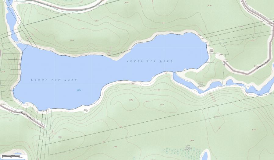
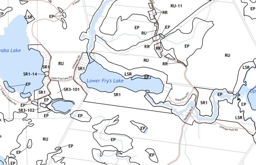
Maps of Lower Fry Lake
Topographical Map of Lower Fry Lake in Monteith
Legend
 Buildings surrounding Lower Fry Lake
 Buildings surrounding Lower Fry Lake
 Conservation Area surrounding Lower Fry Lake
 Contours of land surrounding Lower Fry Lake
 Index Contour
 Rapids
 Spot Height
 Water Falls
 Water Falls/Rapids
 Waterbody Elevation
 Watercourse
 Wetland surrounding Lower Fry Lake
 Wooded Area surrounding Lower Fry Lake
Zoning Map of Lower Fry Lake in Monteith
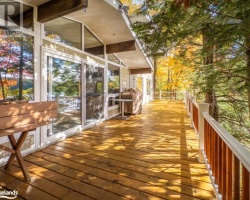
Cottages for Sale on Lower Fry Lake - (Monteith)
Sorry no cottages for sale at the moment on Lower Fry Lake (Monteith)
Cottages for Sale close to Lower Fry Lake
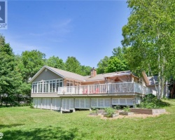
Previously listed Cottages on Lower Fry Lake
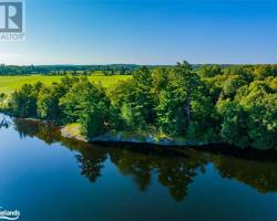
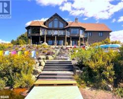
33 Lower Frys Lake Road, Seguin, P2A0B6 was previously listed 2020-11-13, mls# 40039819
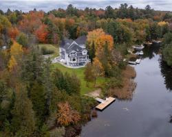
Previously listed Cottages on Lower Fry Lake
33 Lower Frys Lake Road, Seguin, P2A0B6 was previously listed 2020-11-13, mls# 40039819