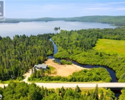
Bridge Lake - (Kearney)
Average traveling time from the GTA to Bridge Lake - (Kearney) is 3 hours 31 min
This Lake Median Lake Average Lake | |
Bridge Lake is 38 hectares (94 Acres) in size The median size lake in our area is 71 hectares or 175 Acres (average size 398 hectares) | 38 71 398 |
|
Bridge Lake has a maximum depth 7 meters (23 ft)
The median depth of lakes in our area is 13.5 m or 44 ft (average depth 18 m) | 7 13.5 18 |
| The median depth of Bridge Lake is 2.00 m (7 ft) | 2.00 5.2 7 |
|
Bridge Lake Perimeter 5.00 km (3.11 Miles)
The median perimiter of lakes in our area is 3.3 km or 2.05 miles (average Perimiter 3.61 km) | 5.00 3.3 4 |
|
Bridge Lake Altitude 434 m (1424 ft)
The median altitude of lakes in our area is 290 m or 951 ft (average Altitude is 289 m) | 434 290 289 |
|
Water Clarity of Bridge Lake (median 3.2 m) 1.00 m (3ft)
The median Secchi Depth of lakes in our area is 3.2 m or 10 ft (average Secchi Depth is 3 m) | 1.00 3.2 3 |
| Bridge Lake's watershed area feeding the Lake (excluding lake) 4.7 km2 (1161 acres) | |
| Drainage Basin of Bridge Lake Big East River | |
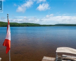
| Bridge Lake's percentage of shoreline which is Crown Land 100 % | |
| Bridge Lake is in the Township of Bethune | |
| Shoreline Development on Bridge Lake is: none | |
| Public Access to Bridge Lake public; via Crown Land trails off of Rain Lake Road | |
| Water Level Management not regulated | |
| Other Fish Species in Bridge Lake longnose sucker, , pearl dace, northern redbelly dace | |
| Much of the above data for Bridge Lake is compliments of the Muskoka Water Web maintained by The District Municipality of Muskoka | |
Maps of Bridge Lake
Topographical Map of Bridge Lake in Kearney
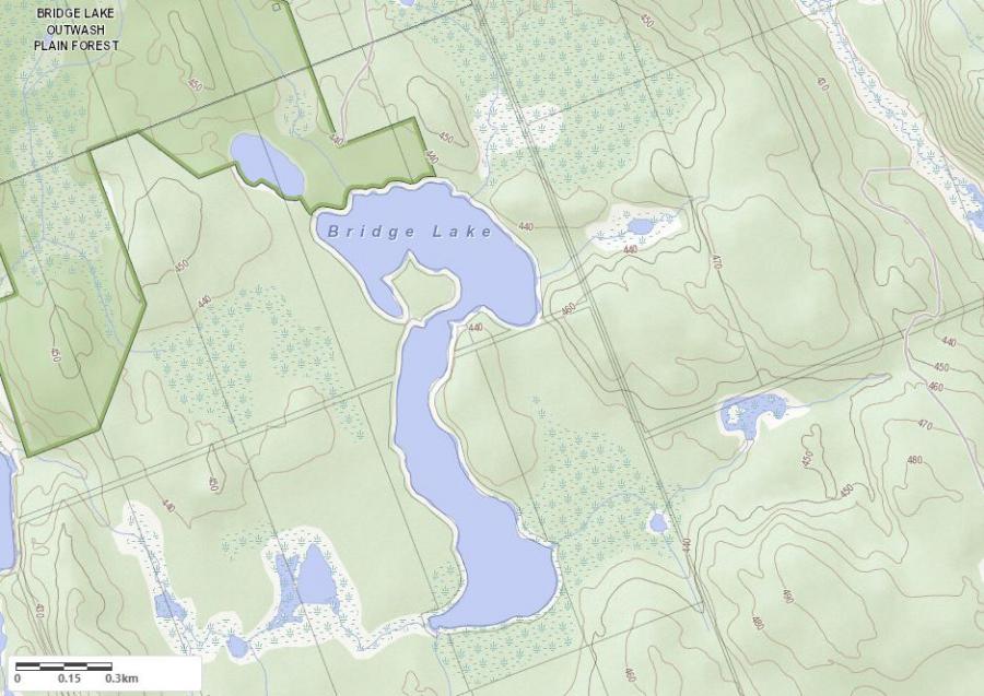
Legend
 Buildings surrounding Bridge Lake
 Buildings surrounding Bridge Lake
 Conservation Area surrounding Bridge Lake
 Contours of land surrounding Bridge Lake
 Index Contour
 Rapids
 Spot Height
 Water Falls
 Water Falls/Rapids
 Waterbody Elevation
 Watercourse
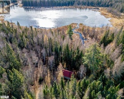
 Wetland surrounding Bridge Lake
 Wooded Area surrounding Bridge Lake
Crown Land Map of Bridge Lake in Kearney
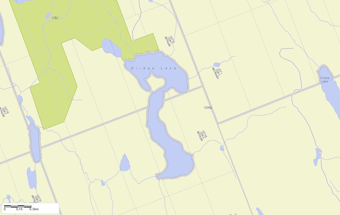
Legend for Crown Land Map
Private Land surrounding Bridge Lake - (Kearney)Provincial Park surrounding Bridge Lake - (Kearney)
Crown Land surrounding Bridge Lake - (Kearney) (General Use)
Conservation Reserve surrounding Bridge Lake - (Kearney)
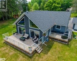
Cottages for Sale on Bridge Lake - (Kearney)
Sorry no cottages for sale at the moment on Bridge Lake (Kearney)