0 Smokey Road, Whitestone Lake
Property Overview - For sale
| Price | $ 429 000 | On the Market | 12 days |
|---|---|---|---|
| MLS® # | 40536885 | Type | |
| Bedrooms | Bed | Bathrooms | Bath |
| Waterfront | Whitestone Lake | Postal Code | P0A1G0 |
| Street | SMOKEY | Town/Area | Whitestone |
| Property Size | 1.8 ac|1/2 - 1.99 acres | Building Size | 0 |
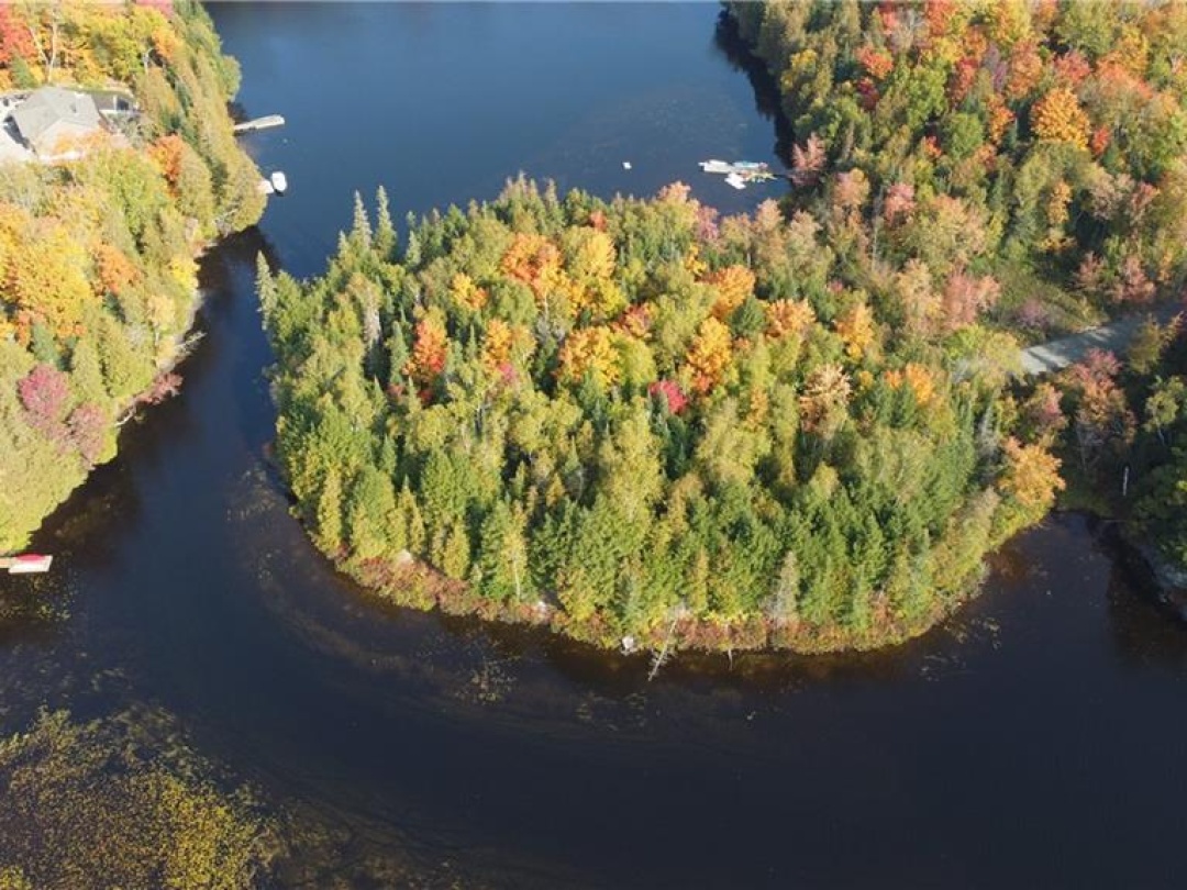
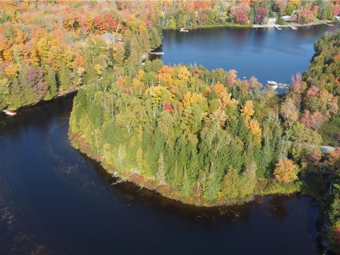
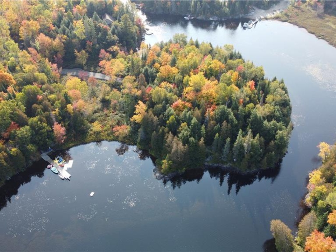
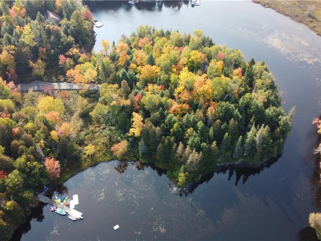
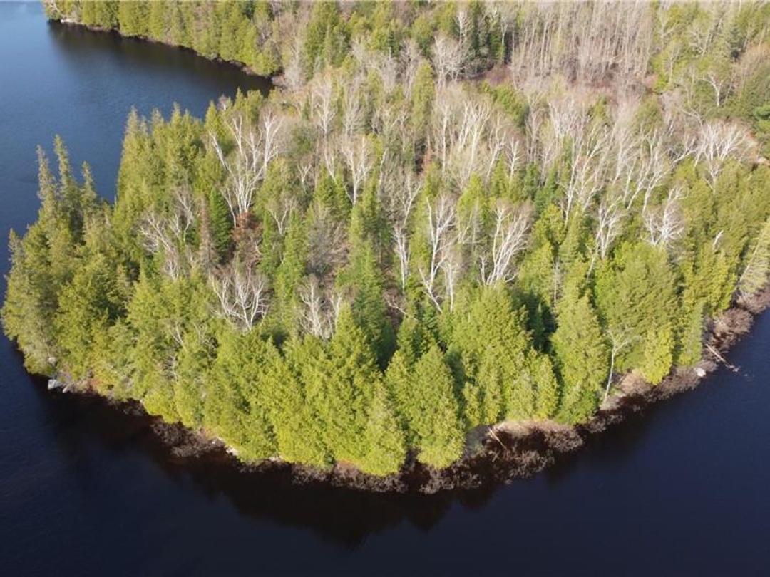
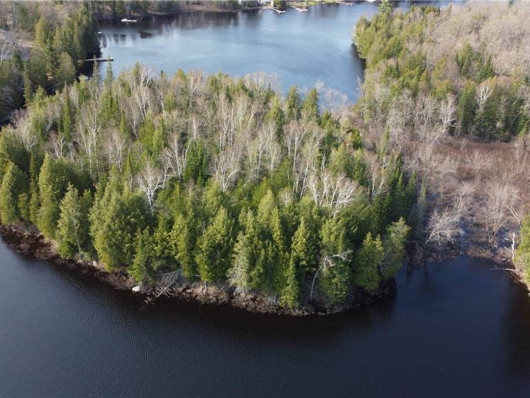
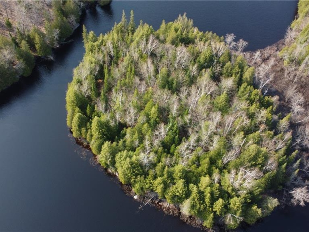
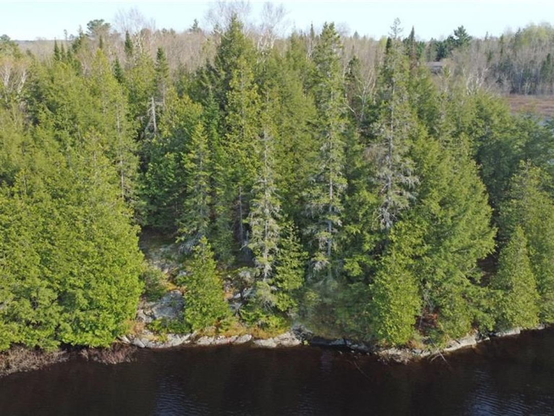
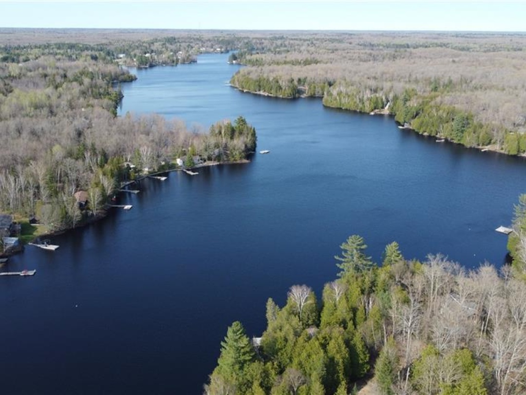
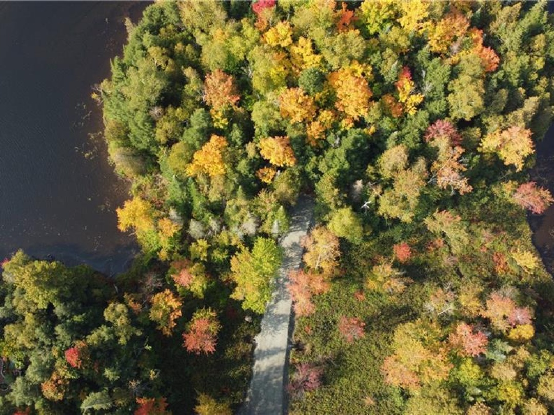
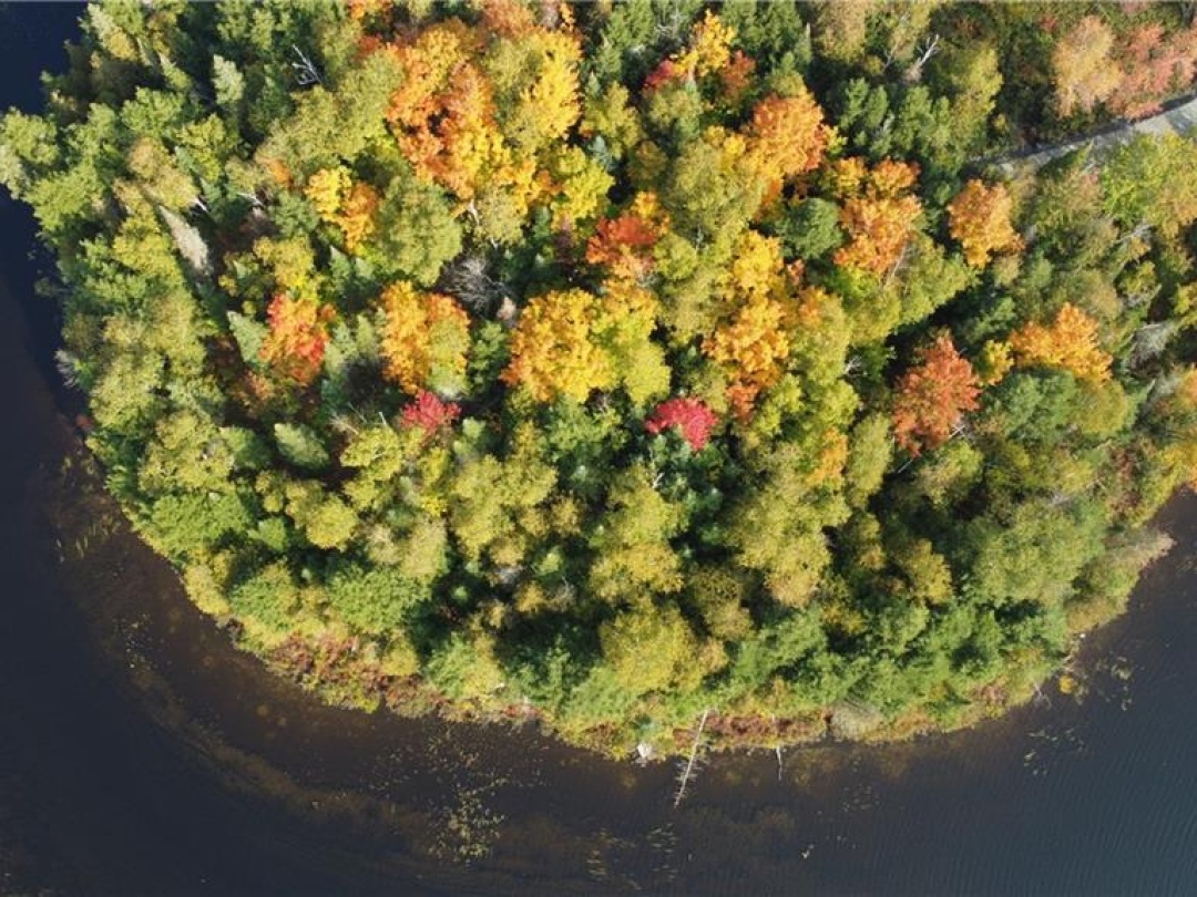
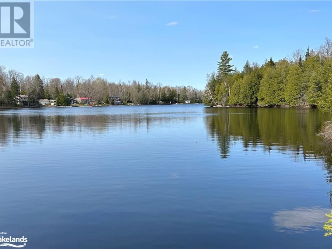
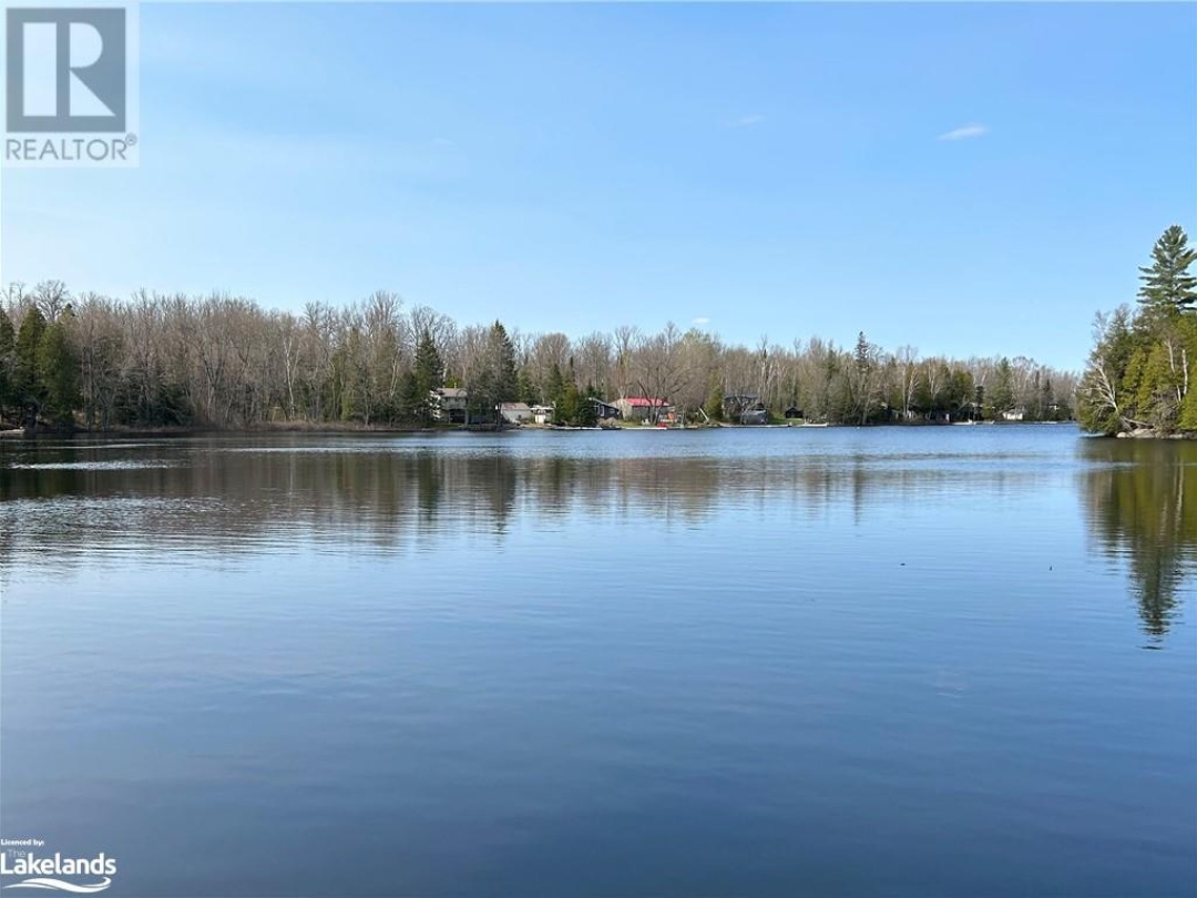
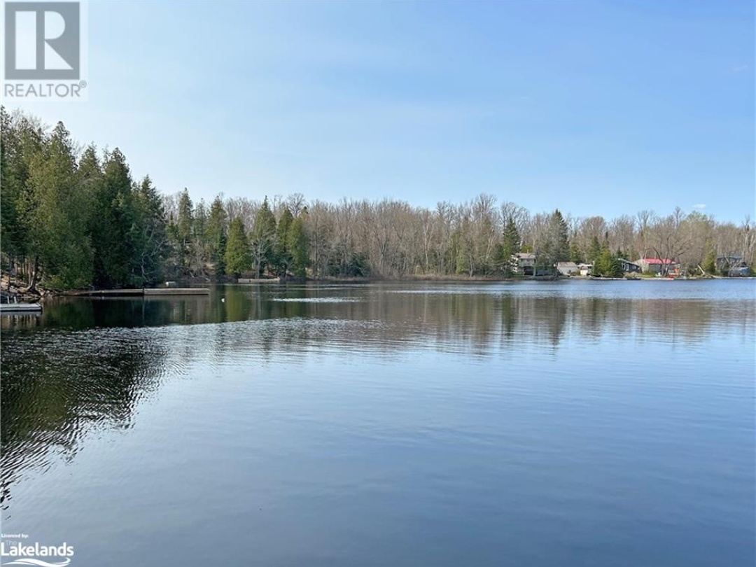
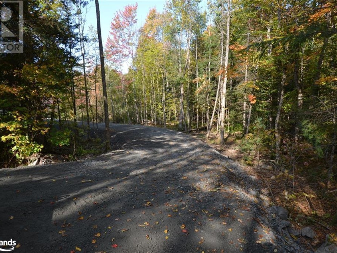
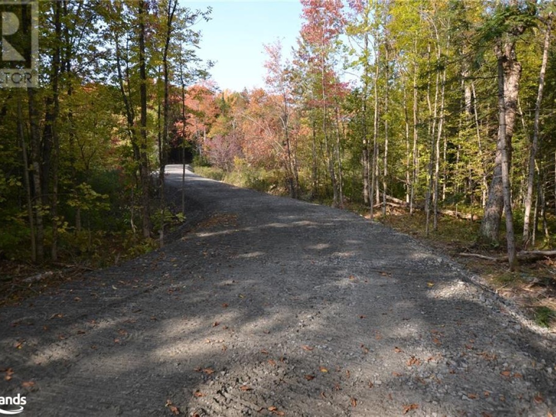
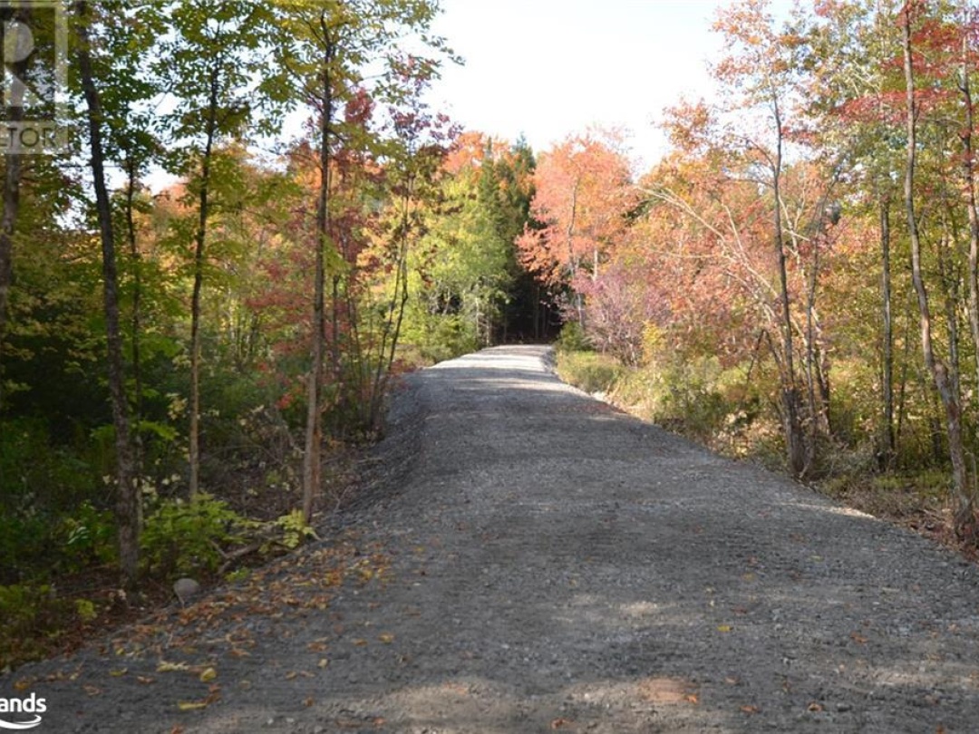
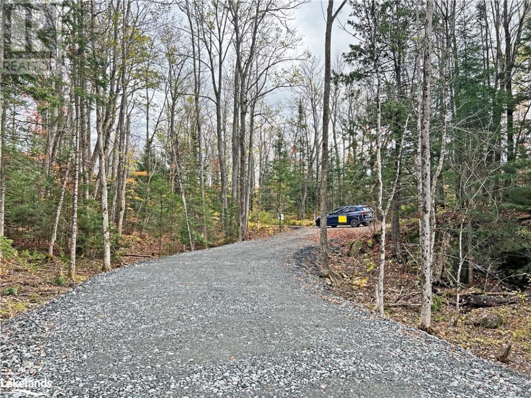
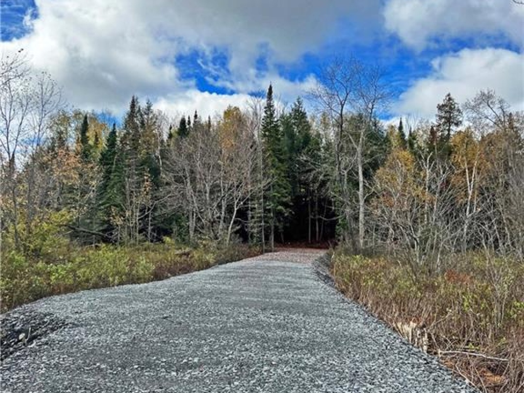
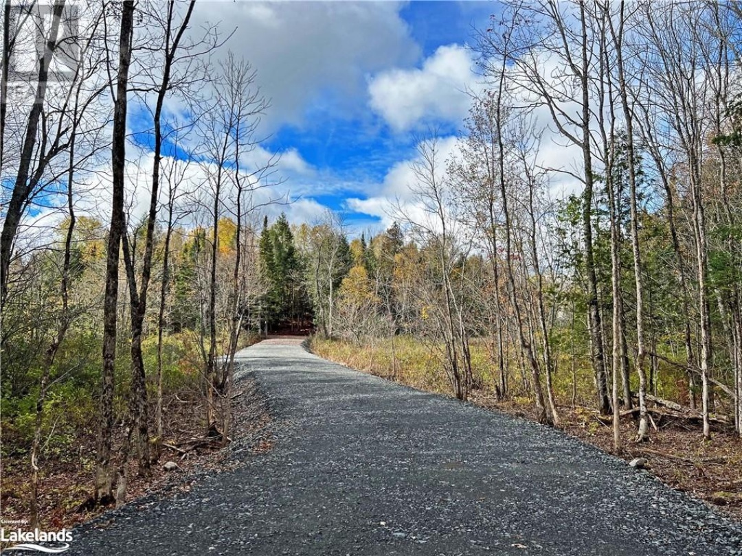
463 FT WATERFRONT on PRIME WHITESTONE LAKE. 1.8 ACRES of PRIVACY! NEW DRIVEWAY! Ideal topography to build your dream cottage, Mixed rocky and natural shoreline. Hydro is available. Quality driveway has been constructed. Whitestone Lake offers hours of boating enjoyment, Great swimming, water sports and fishing, Full service marina. Duck Rock Resort with restaurant, store and gas, LCBO, Community Centre, Boat launch. Less than 3 hours from the GTA! Make Cottage Life a Reality! (id:20829)
| Waterfront Type | Waterfront |
|---|---|
| Waterfront | Whitestone Lake |
| Size Total | 1.8 ac|1/2 - 1.99 acres |
| Size Frontage | 463 |
| Lot size | 1.8 |
| Ownership Type | Freehold |
| Sewer | No sewage system |
| Zoning Description | WF-LS, EP Whitestone - Zoning By-Laws |
This listing of a Vacant Land property For sale is courtesy of Kevin Whetham from Remax Parry Sound Muskoka Realty Ltd Brokerage Parry Sound
Information on Whitestone Lake
| Whitestone Lake Size | 698 Ha | 1725 acres |
|---|---|---|
| Whitestone Lake Perimeter | 65.20 km | 434 miles |
| Island Shoreline | 8.40 km | 5 miles |
| Whitestone Lake Depth | 19 m | 2290 ft |
| Whitestone Lake Mean Depth | 5.30 m | 17 ft |
| Altitude of Whitestone Lake | 249 m | 817 ft |
| District | Whitestone Lake is in the District of Parry Sound | |
| Municipality | Whitestone Lake is in the Municipality of Whitestone | |
| Township | Whitestone Lake is in the Township of Hagerman | |
| Drainage Basin | Magnetawan River (via Whitestone River) | |
| Watershed Area | 107.0 km | 66 miles |
| Water Clarity | Whitestone Lake has a water clarity of 2.40 m | 8 ft |
Census Data of Whitestone Municipality
2016 Population of Whitestone: 9162011 Population of Whitestone : 918
Population Growth of Whitestone : -0 %
Total private dwellings in Whitestone : 1,410
Dwellings by residents in Whitestone : 444
Density of Whitestone : 444 per sq km
Land Area of Whitestone: 444 sq km
Whitestone is in the District of Parry Sound
Census Data for The District of Parry Sound
Population: 42,824 (2016) 1.6% increase over 2011 population of 42,162The total number of dwellings is 35,226 of which 18,679 are full time residents
The land area of Parry Sound is 9,326 sq km's (3,601 sq miles) and has a density of 5 per sqare km
Data is from the 2016 Government Census