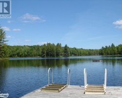
Tee Lake - (Bracebridge)
Average traveling time from the GTA to Tee Lake - (Bracebridge) is 2 hours 24 mins
This Lake Median Lake Average Lake | |
Tee Lake is 14 hectares (35 Acres) in size The median size lake in our area is 71 hectares or 175 Acres (average size 398 hectares) | 14 71 398 |
|
Tee Lake has a maximum depth 12 meters (39 ft)
The median depth of lakes in our area is 13.5 m or 44 ft (average depth 18 m) | 12 13.5 18 |
| The median depth of Tee Lake is 4.00 m (13 ft) | 4.00 5.2 7 |
|
Tee Lake Perimeter 2.00 km (1.24 Miles)
The median perimiter of lakes in our area is 3.3 km or 2.05 miles (average Perimiter 3.61 km) | 2.00 3.3 4 |
|
Tee Lake Altitude 351 m (1152 ft)
The median altitude of lakes in our area is 290 m or 951 ft (average Altitude is 289 m) | 351 290 289 |
| Drainage Basin of Tee Lake Black River | |
| Tee Lake's percentage of shoreline which is Crown Land 100 % | |
| Tee Lake is in the Township of McLean | |
| Shoreline Development on Tee Lake is: low; recreation camp | |
| Public Access to Tee Lake public; Crown land trail off Black River Road | |
| Water Level Management not regulated | |
| Much of the above data for Tee Lake is compliments of the Muskoka Water Web maintained by The District Municipality of Muskoka | |
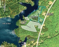
Maps of Tee Lake
Topographical Map of Tee Lake in Bracebridge
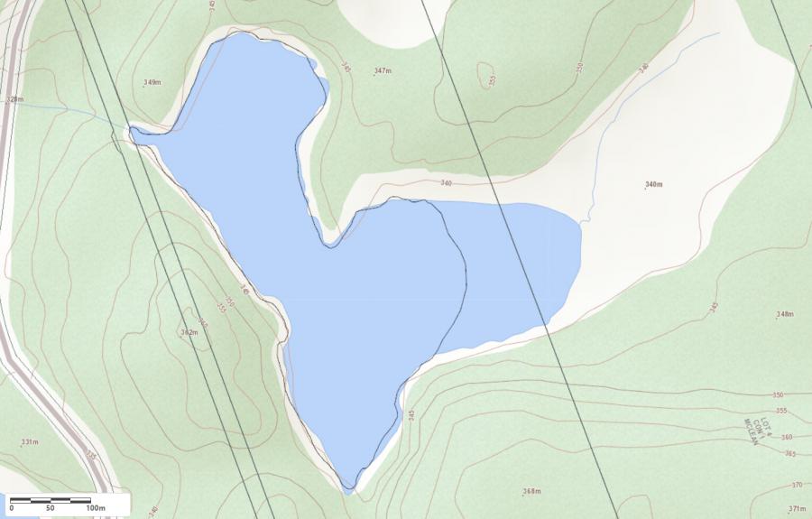
Legend
 Buildings surrounding Tee Lake
 Buildings surrounding Tee Lake
 Conservation Area surrounding Tee Lake
 Contours of land surrounding Tee Lake
 Index Contour
 Rapids
 Spot Height
 Water Falls
 Water Falls/Rapids
 Waterbody Elevation
 Watercourse
 Wetland surrounding Tee Lake
 Wooded Area surrounding Tee Lake
Zoning Map of Tee Lake in Bracebridge
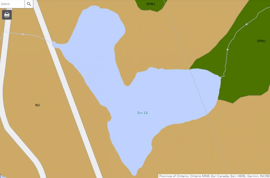
Legend of Bracebridge Zoning Map - Tee Lake
SR1 - Shoreline Residential 1EP1 - Environmentally Protected 1
RU - Rural
RR - Rural Residential
OP1 - Open Space 1
OP2 - Open Space 2
OP3 - Open Space 3
R1 - Residential
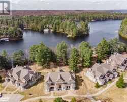
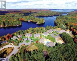
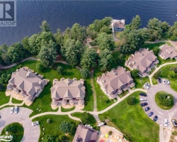
Cottages for Sale on Tee Lake - (Bracebridge)
Sorry no cottages for sale at the moment on Tee Lake