Lake Waseosa - (Huntsville)
Average traveling time from the GTA to Lake Waseosa - (Huntsville) is 2 hours 14 mins
This Lake Median Lake Average Lake | |
Lake Waseosa is 156 hectares (385 Acres) in size The median size lake in our area is 71 hectares or 175 Acres (average size 398 hectares) | 156 71 398 |
|
Lake Waseosa has a maximum depth 20 meters (66 ft)
The median depth of lakes in our area is 13.5 m or 44 ft (average depth 18 m) | 20 13.5 18 |
| The median depth of Lake Waseosa is 8.00 m (26 ft) | 8.00 5.2 7 |
|
Lake Waseosa Perimeter 12.00 km (7.46 Miles)
The median perimiter of lakes in our area is 3.3 km or 2.05 miles (average Perimiter 3.61 km) | 12.00 3.3 4 |
| Lake Waseosa Island/s Perimeter 2.00 km (1.24 Miles) | |
|
Lake Waseosa Altitude 330 m (1083 ft)
The median altitude of lakes in our area is 290 m or 951 ft (average Altitude is 289 m) | 330 290 289 |
|
Water Clarity of Lake Waseosa (median 3.2 m) 2.90 m (10ft)
The median Secchi Depth of lakes in our area is 3.2 m or 10 ft (average Secchi Depth is 3 m) | 2.90 3.2 3 |
| 8 % of Lake Waseosa shorline is wetland. The median percentage of shoreline which is wetland of lakes in our area is 9 % (average Percentage of shoreline which is wetland 10) % |
Percentage of Shoreline which is wetland 8 9 10 |
|
Lake Waseosa's phosphorus content in water is 8.90 ug/L
The median Phosphorus content in the water of lakes in our area is 8 ug/l (average Phosphorus content 9 ug/L | 8.90 8 9 |
| Lake Waseosa's watershed area feeding the Lake (excluding lake) 14.7 km2 (3632 acres) | |
| Lake Trout found in Lake Waseosa: No | |
| Drainage Basin of Lake Waseosa Little East River | |
| Lake Waseosa is in the Township of Chaffey | |
| Local Name of Lake Waseosa is Long Lake | |
| Public Access to Lake Waseosa Boat Launch | |
| Much of the above data for Lake Waseosa is compliments of the Muskoka Water Web maintained by The District Municipality of Muskoka | |
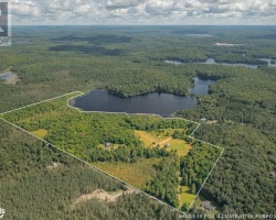
Maps of Lake Waseosa
Topographical Map of Lake Waseosa in Huntsville
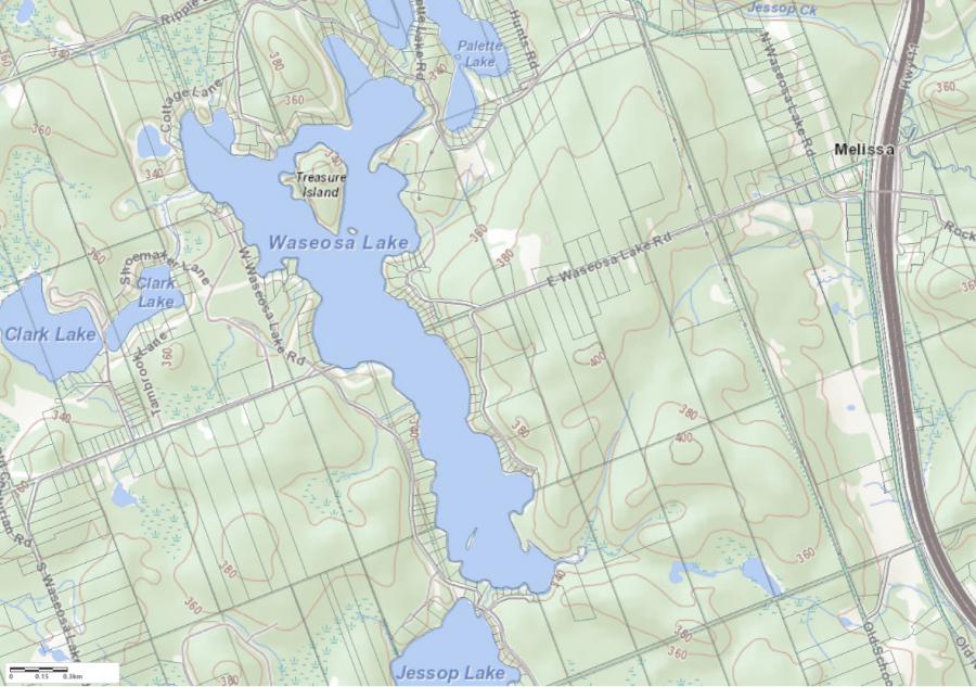
Legend
 Buildings surrounding Lake Waseosa
 Buildings surrounding Lake Waseosa
 Conservation Area surrounding Lake Waseosa
 Contours of land surrounding Lake Waseosa
 Index Contour
 Rapids
 Spot Height
 Water Falls
 Water Falls/Rapids
 Waterbody Elevation
 Watercourse
 Wetland surrounding Lake Waseosa
 Wooded Area surrounding Lake Waseosa
Lake Contour Maps showing the depths of Lake Waseosa
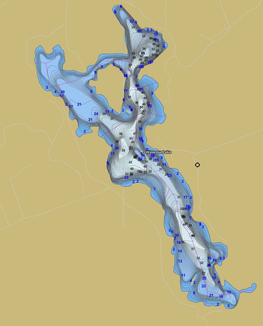
This map is courtesy of Gps Nautical Maps and you can purchase this map as an app from GpsNauticalCharts.com
All measurements of the countour map showing the depths of Lake Waseosa are in feet.
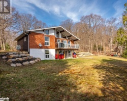
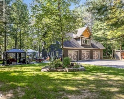
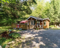
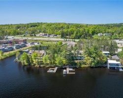
Cottages for Sale on Lake Waseosa - (Huntsville)
Sorry no cottages for sale at the moment on Lake Waseosa (Huntsville)